by Celeste Lipford and Terry Lipford - last updated on 5/22/2025
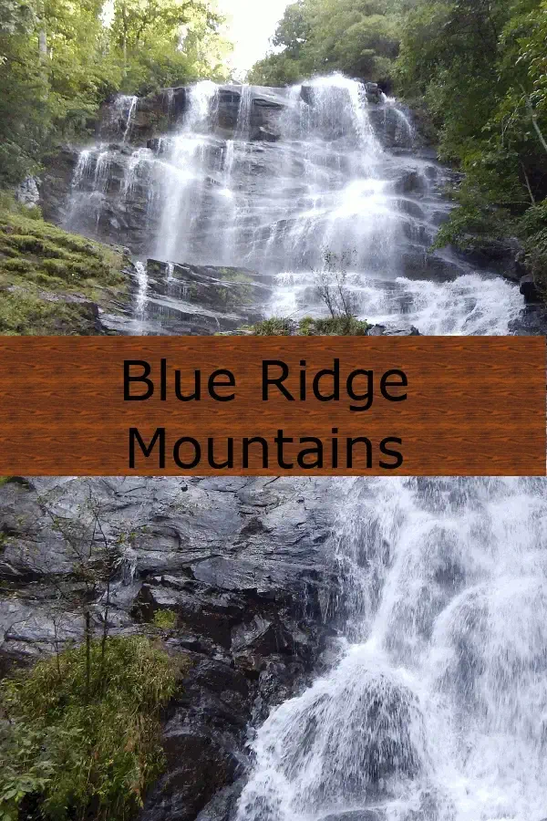
We decided that we needed to take a "tune-up trip" where we did as much hiking and walking as possible. We reached this decision because we are headed back to Europe in September 2018, where we expect to be doing a serious amount of walking, hiking and climbing stairs.
Our game plan was to visit Tallulah Gorge State Park and Amicalola State Park (north of Atlanta), then drive on to the Asheville, NC area so we could visit the city as well as Catawba Falls and Chimney Rock. From there we would visit Big Meadows Lodge in the Shenandoah National Park, VA. Each of these parks offered interesting hiking as well as beautiful geography & vistas. Better yet was the fact that we had never been to any of these places before and that our explorations would end at Lake Anna, VA where we have a cabin.
Our trip game plan design and purpose, was to enjoy Northern Georgia forests, then head into North Carolina to visit Asheville. The Asheville area contains other parks we plan to visit, and then on to Virginia.
To view the details of how we plan trips, click here.
The overall trip was approximately 2,300 miles and we had laid out the routes and stops to allow us to become more familiar with areas that we had not previously visited. We go into more detail on each destination page, click any destination in the list below right;
Located in the majestic North Georgia mountains, Amicalola Park is a captivating natural haven that draws visitors with its awe- inspiring beauty and abundant recreational opportunities. At its centerpiece stands Amicalola Falls, a staggering 729-foot cascade, making it the tallest waterfall in Georgia and a mesmerizing sight to behold. The park's well-maintained trails offer various vantage points, leading adventurers through lush forests and stunning landscapes to witness the falls from different angles.
To view how interesting it was there, click here to view our Amicalola Falls State Park page.
Tallulah Gorge was our next destination; This is is a beautiful natural wonder nestled in the northeast corner of Georgia, USA. Spanning over 2,700 acres, this picturesque park is renowned for its deep gorge, carved over millennia by the Tallulah River. At its heart lies the mesmerizing Tallulah Falls, a series of six stunning cascades that tumble dramatically over the rocky cliffs. The park offers visitors an unparalleled experience with its impressive suspension bridge that hangs 80 feet above the canyon floor, providing breathtaking views of the roaring waterfalls below.
To view what a cool place it is, click here to view our Tallulah Gorge Falls State Park page.
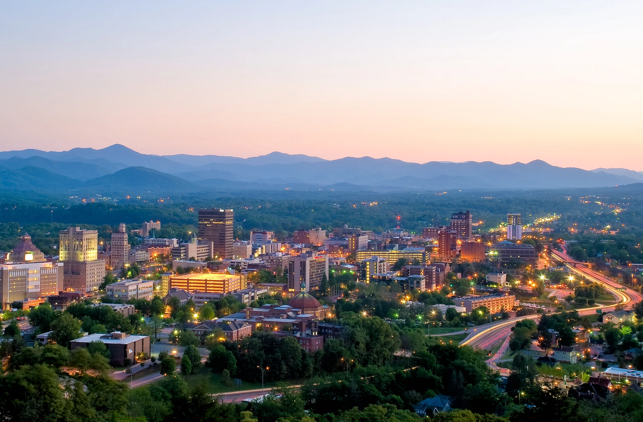 Above image is the property of Michael Tracey via Wikimedia Commons using the Public Domain license.
 We selected Asheville, NC as our next stop because it is not only a pretty city, but it is located in a very pretty area of North Carolina. And the kicker was that neither of us had been here before! Some research of the Asheville area, showed us that we would be able to find some nice hiking here.
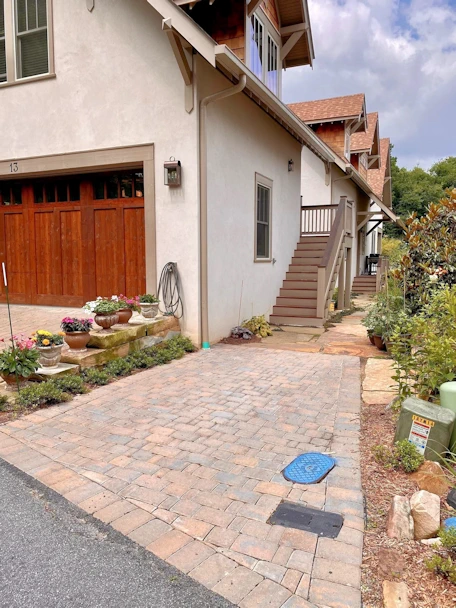
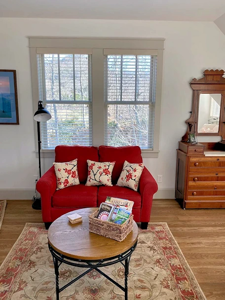
Our Asheville Rental
The VRBO rental we utilized in Cheshire Village, NC just north of Asheville. The people who we rented this from, were extremely nice, and if you are looking for a very clean & comfortable place to stay, this would be a good choice.
Click here to view this rental listing on VRBO.
NOTE: Both of these images belong to the property owner from their VRBO listing.
Asheville Bouchon French Bistro Restaurant
After we checked in to our rental, we drove to downtown Asheville to do some exploring and have dinner. We found this French Restaurant (62 N Lexington Ave, Asheville, NC) and decided that moules et frites would be great. The food here was very good, and they have an excellent wine list - not a large restaurant so I would suggest that if you plan to visit that you make a reservation like we did.
Click here to go to their website.
Click here for their Yelp Page. You can find their menu and more images there.
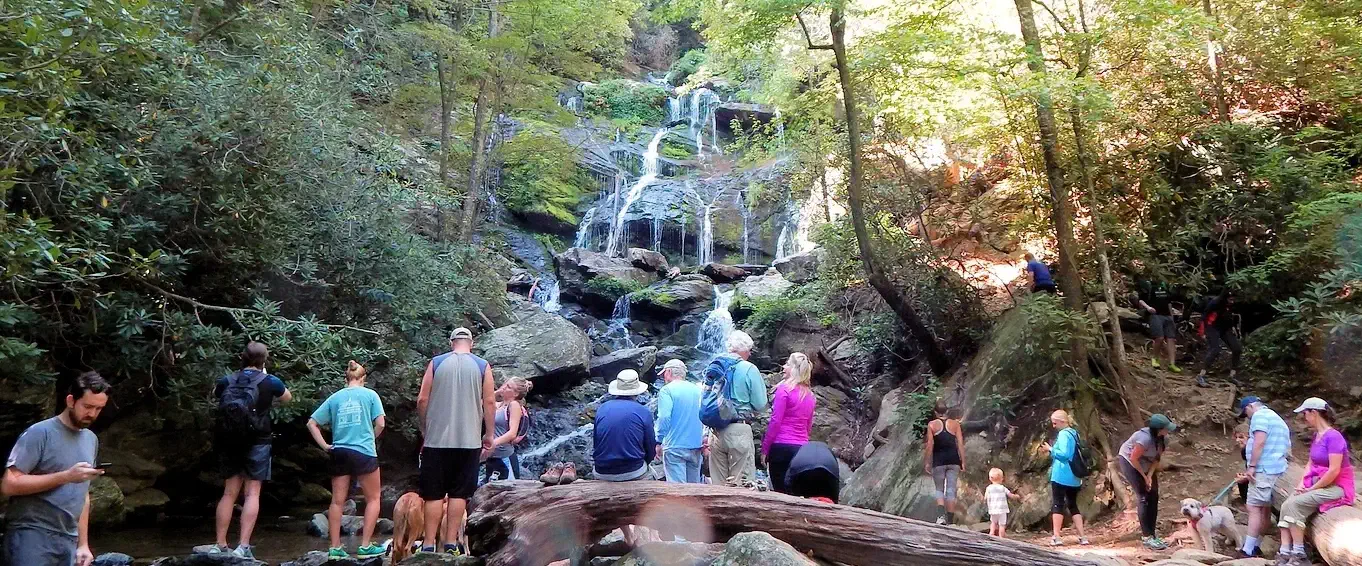
After our arrival in Asheville, NC, we headed out to Catawba State Park. Our initial goal was the 1.5-mile Catawba Falls hike (3 miles round-trip) which is a steady and slightly uphill walk but it is not difficult. It follows the Catawba River, with many smaller cascades along the way. It's a beautiful trail, with sounds of rushing water and short side trails to see it.
To view our park exploration, click here to view our Catawba Falls page.
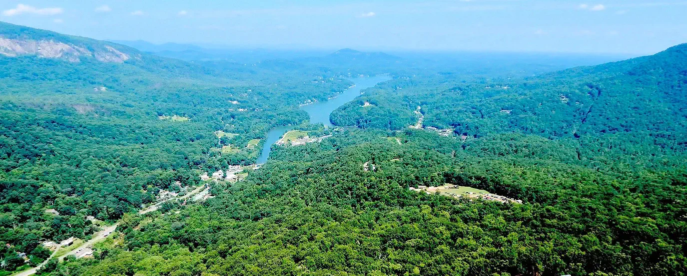
This was our next outing once we were settled into our rental unit. And it is a breathtaking natural wonder that captivates with its awe-inspiring landscapes and stunning views. Located in the scenic Hickory Nut Gorge, the park is home to the iconic Chimney Rock, a towering 315-foot granite monolith that stands as the centerpiece of the area.
To view our park exploration, click here to view our Chimney Rock page.
After a quick side trip to our cabin in Lake Anna, VA, we drove up to the Big Meadows area of the Shenandoah National Park.
Located in the Blue Ridge Mountains of Virginia, the park is a pristine and picturesque wilderness that captivates visitors with its breathtaking beauty and abundant biodiversity. Encompassing over 200,000 acres, the park offers a diverse range of ecosystems, including lush forests, cascading waterfalls, and serene meadows.
The famous Skyline Drive, a scenic byway that stretches for 105 miles, offers stunning vistas and opportunities for wildlife sightings. Hiking enthusiasts can explore over 500 miles of trails, each leading to unique overlooks and landmarks like Old Rag Mountain and Dark Hollow Falls.
To view our park exploration, click here to view our Shenandoah National Park page.
We have been recreating at Lake Anna, VA since 1995 - for years we had a 40 foot trailer at Christoper Run Campground and then we purchased property on the "private side" of the lake in 2004 and built a cabin and a boat storage garage area for our boat.
The lake's shoreline is dotted with marinas, campgrounds, and vacation rentals, catering to visitors seeking a relaxing lakeside retreat. Additionally, the Lake Anna State Park offers hiking trails, picnic areas, and a sandy beach for families to enjoy.
To view our cabin & Lake Anna information, click here to view our Lake Anna page.
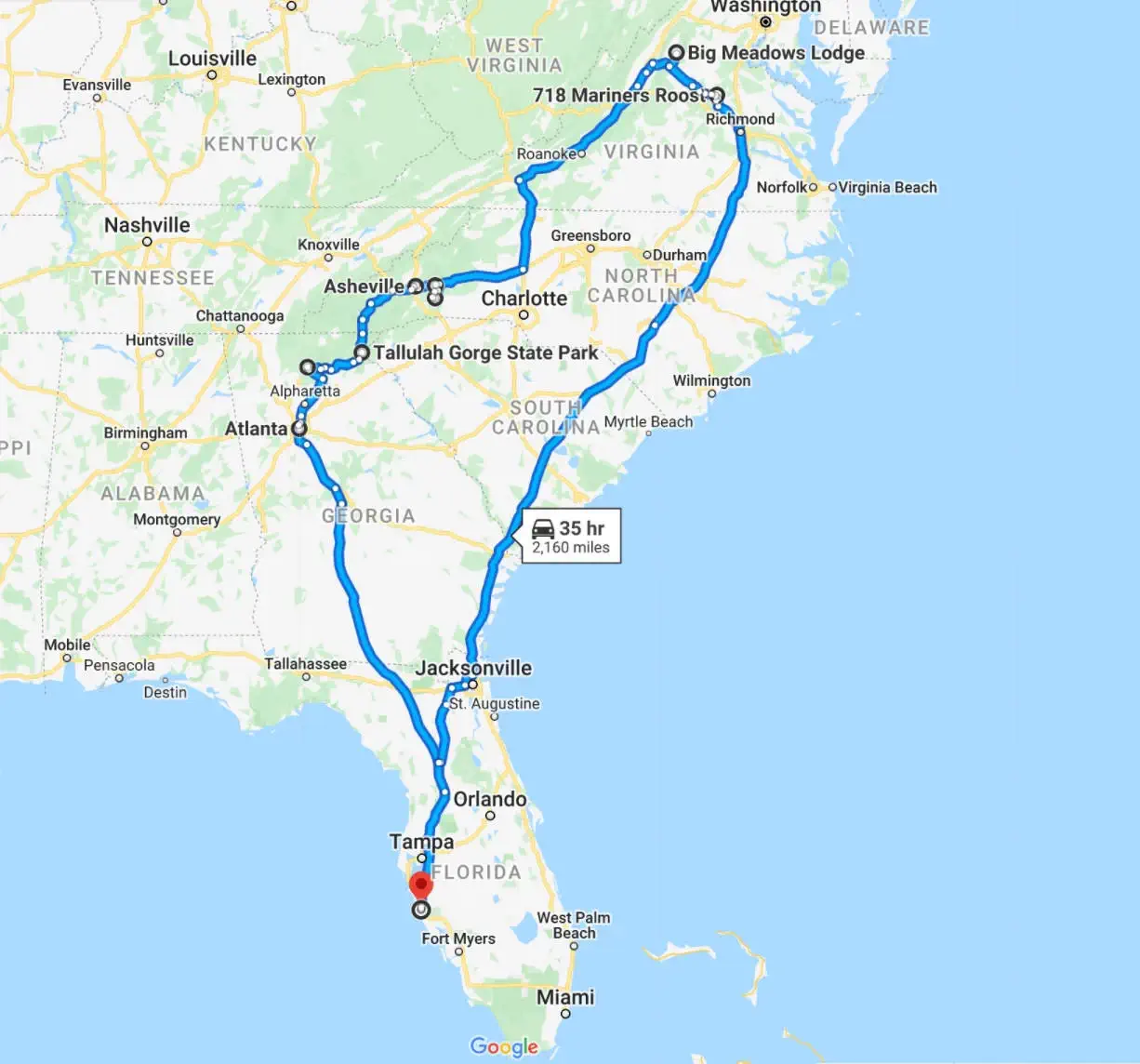
Anyone reading this who has travelled this route, are aware some of it's "good & bad" aspects, but we thought we would add a few selected comments that perhaps might be of use to some of you.
Note: All images featured on this page are the exclusive property of Just Traveling Thru, LLC, unless otherwise stated. When images from external sources are used, full credit is given to the original creator, along with a link to the specified license or usage terms. We are committed to respecting copyright and intellectual property rights, ensuring that all third-party images are properly attributed. If you have any questions regarding image ownership or usage rights, please feel free to contact us.
Affiliate Links: We may earn a commission if you make a purchase through one of our affiliate links. This helps support our travel content — thank you!
Content: To review any of our content, make suggestions and/or comments, please click the "About" menu link at the top of this page. You will find our "Contact Us" link on that drop-down menu.