
by Celeste Lipford and Terry Lipford - last updated on 8/25/2025
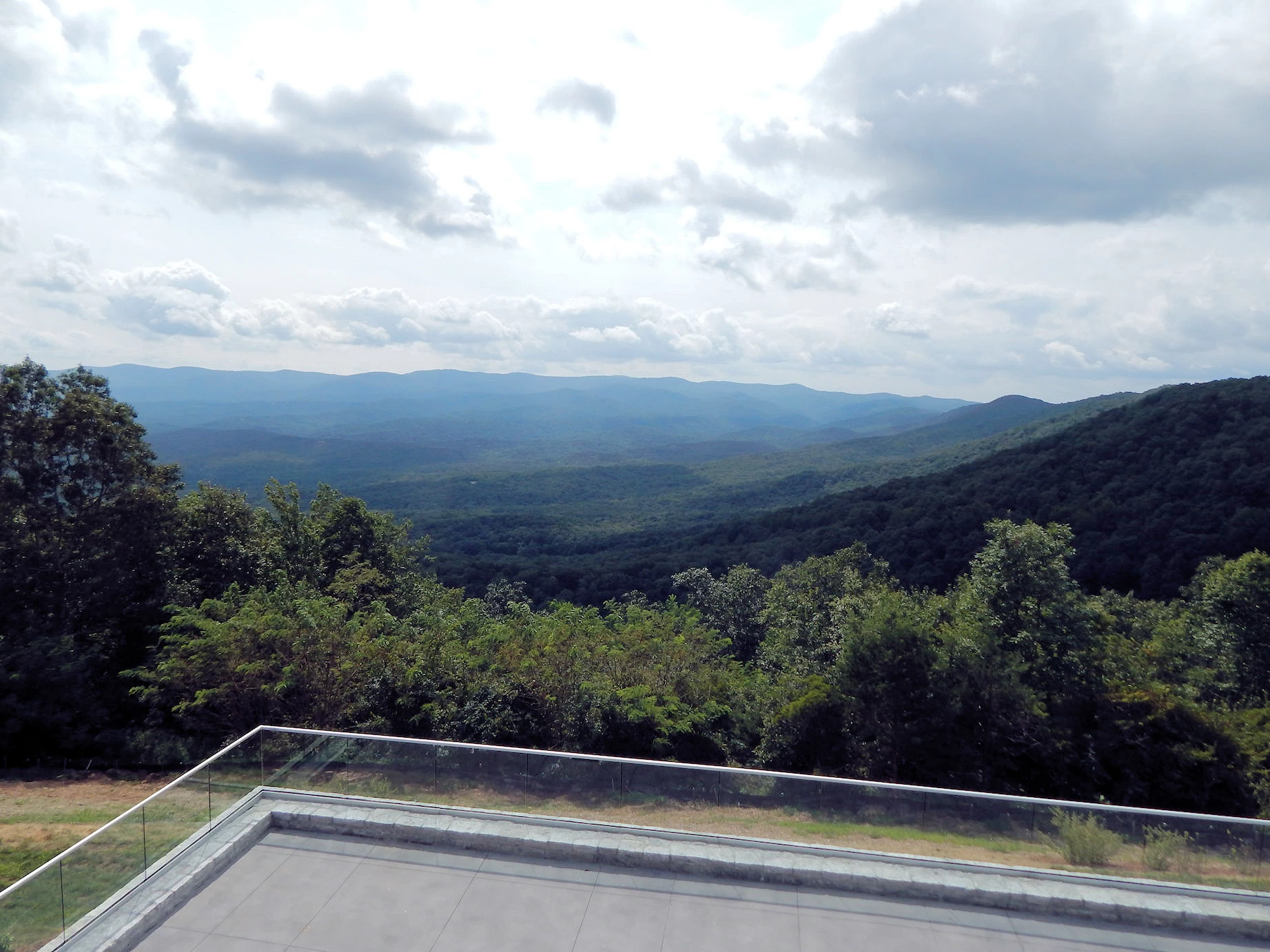
This was our first stop on our Blue Ridge Adventure route, pretty much straight north from Sarasota, past Atlanta, 583 miles from our home in Sarasota. Northern Georgia is very pretty, mountains because you are on the southern tier of the Appalachian Mountain Range.
Our trip research revealed to us that the park offers several unique attractions:
Starting your Blue Ridge adventure here at Amicalola Falls?
Consider planning a follow-up trip north to Shenandoah National Park. It’s the crown jewel of Virginia’s Blue Ridge Mountains, with Skyline Drive, waterfalls, and over 200,000 acres of hiking terrain.Driving from Sarasota, FL, to Amicalola Falls in North Georgia is a journey that offers more than just a change in scenery; it’s an adventure through diverse landscapes. While the total distance wasn’t the most challenging aspect of the trip, navigating through the bustling city of Atlanta proved to be the most demanding part. Atlanta’s sprawling size and perpetually dense traffic require a sharp focus on both the road conditions and the route itself, as detours and delays can occur at any time.
The journey begins with Florida’s coastal flatlands, marked by palm trees, expansive skies, and a relaxed vibe. As you drive north, the scenery transitions into the rolling hills and agricultural fields of southern Georgia, providing a calming rural backdrop. Approaching North Georgia, the landscape dramatically changes once again, with winding roads, towering trees, and the promise of mountain vistas.
Our arrival at Amicalola Falls was a reward in itself. Nestled in the foothills of the Appalachian Mountains, the area’s rugged terrain and pristine beauty stand in stark contrast to the starting point in Sarasota. The trip offers a unique blend of natural beauty and cultural shifts, making it as much about the journey as it is about the destination.
Amicalola Falls State Park is located in Dawsonville, Georgia, and is easily accessible by car. Here's how you can get there:
From Atlanta, GA (Approx. 70 miles, 1.5-hour drive)
From Chattanooga, TN (Approx. 80 miles, 1.5-hour drive)
From Sarasota, FL (Approx. 581 miles, 8.5-hour drive)
Useful Tips
Amicalola Falls State Park in Georgia is a paradise for outdoor enthusiasts and anyone seeking a fun escape in nature. Nestled between Ellijay and Dahlonega, the park offers a bounty of activities that will leave you wanting more. Here's why a visit to Amicalola Falls State Park is a blast:
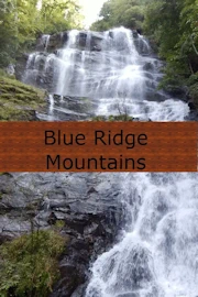
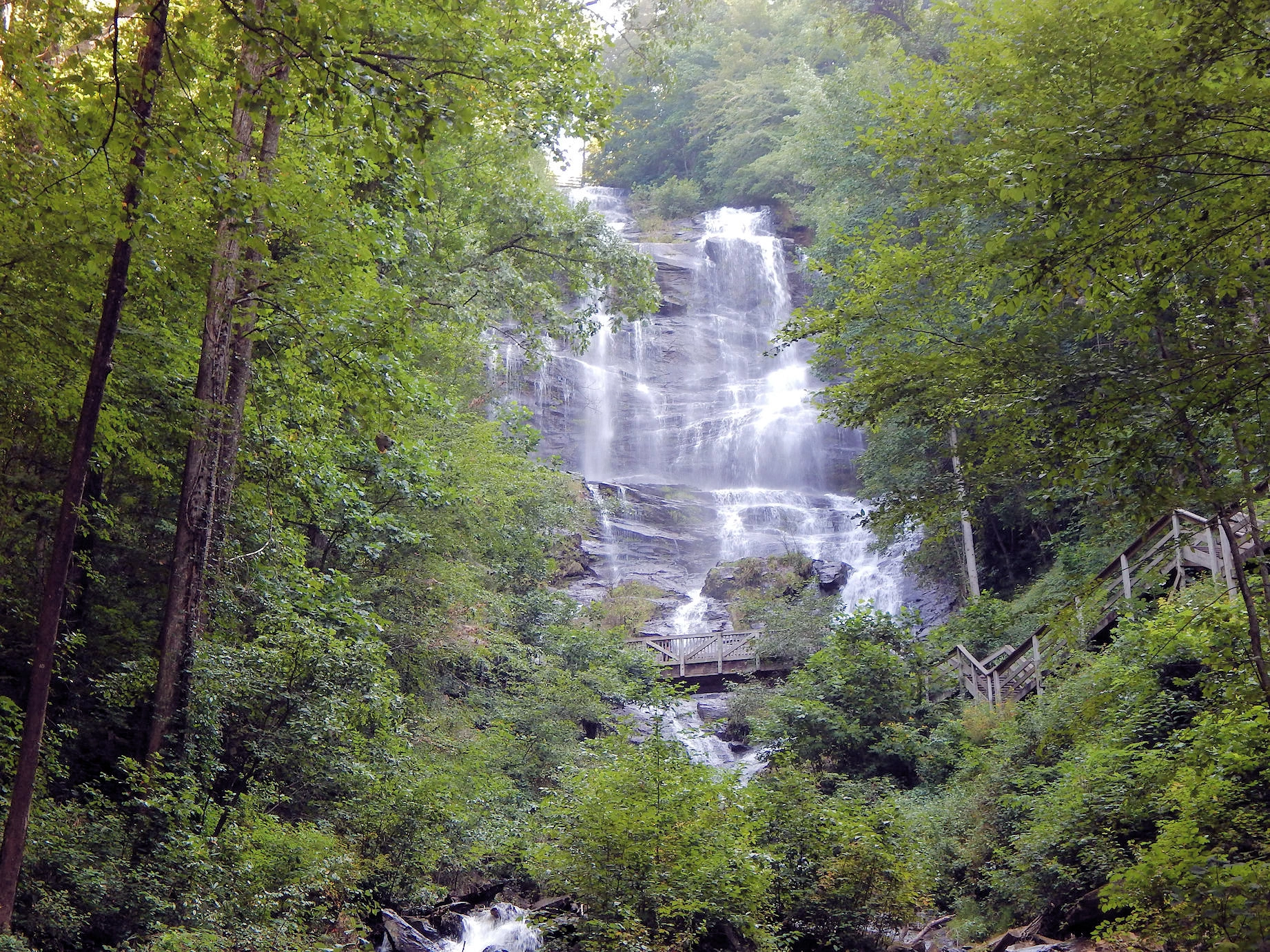
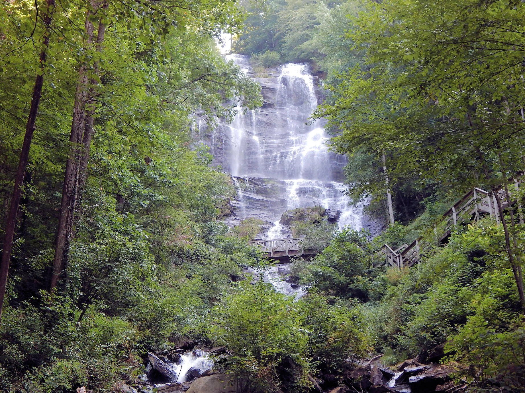
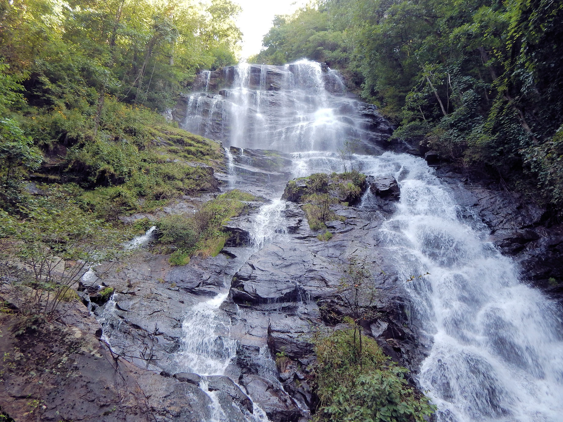
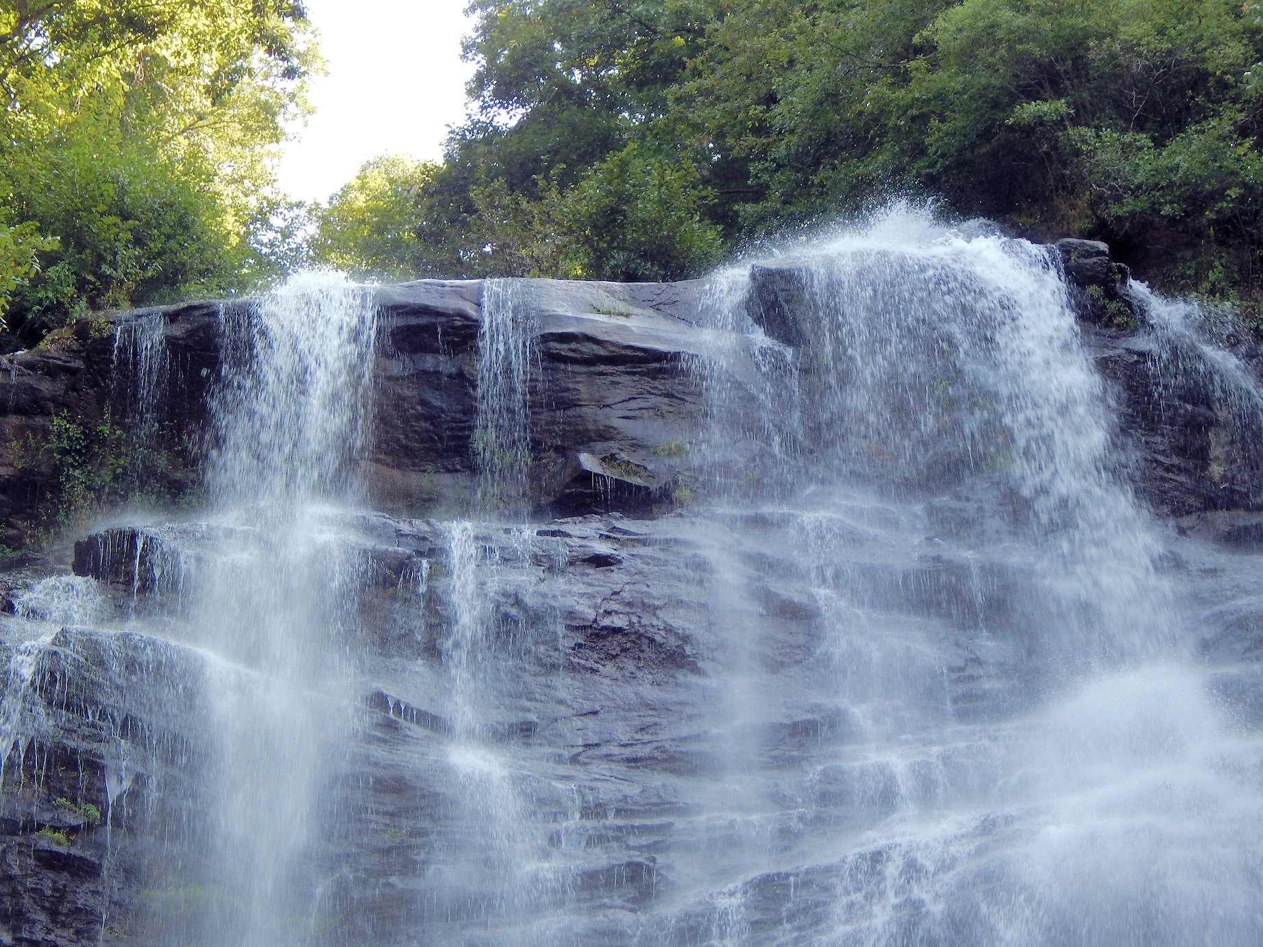
Our first day of travel was occupied by the drive from Sarasota, FL to Amicalola Falls, GA. This Park & Lodge is an 829-acre Georgia state park located between Ellijay and Dahlonega in Dawsonville, Georgia. The park's name is derived from a Cherokee language word meaning "tumbling waters". The 429 foot high Falls are the tallest in Georgia
The Southern entrance to the Appalachian Trail can be reached here via the Appalachian Approach Trail an 8 mile trail starting near the Park Visitor Center. It is possible to drive to the Appalachian Trail starting point, but it is all dirt roads, seriously uphill and has very little parking.
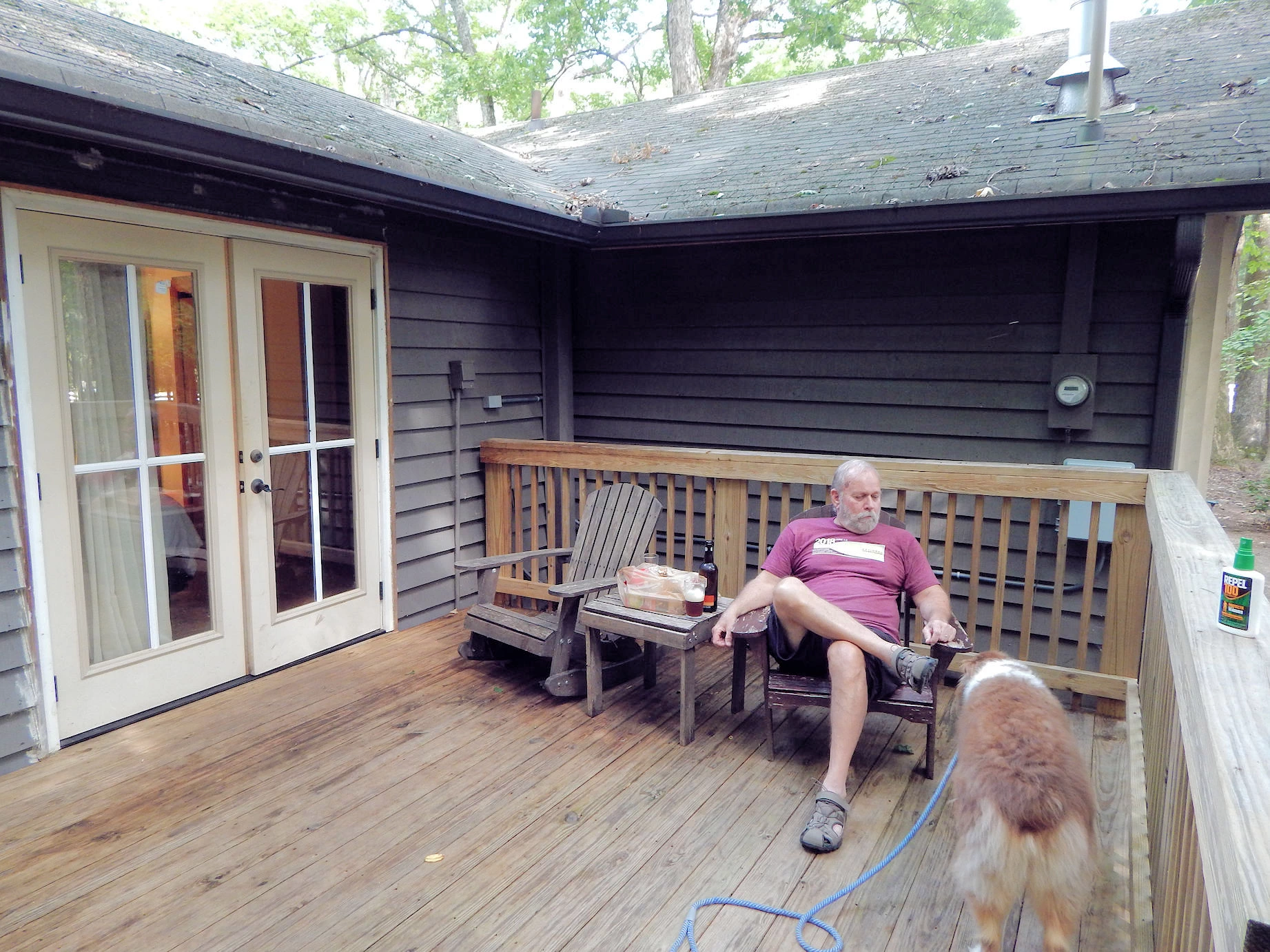
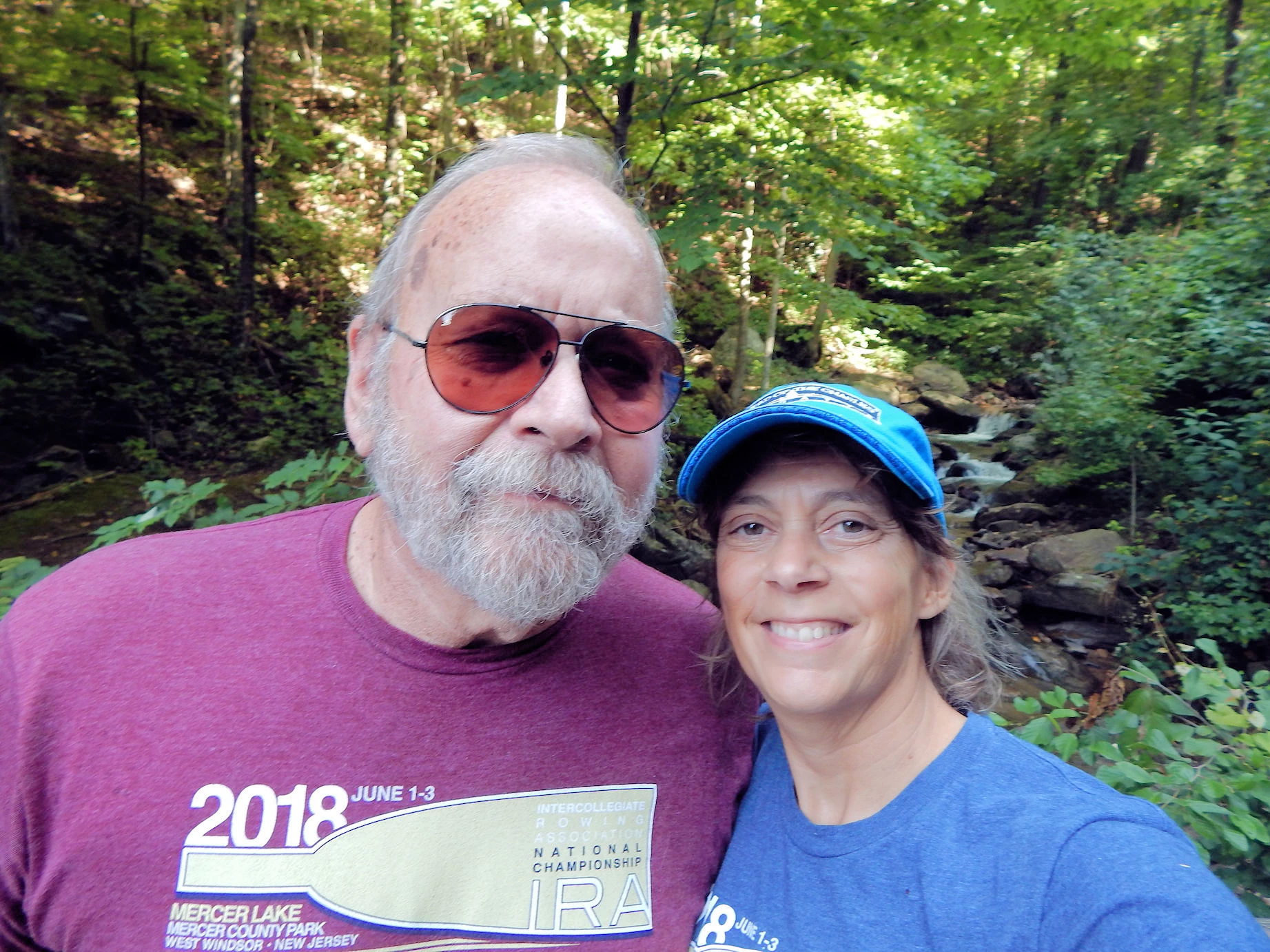
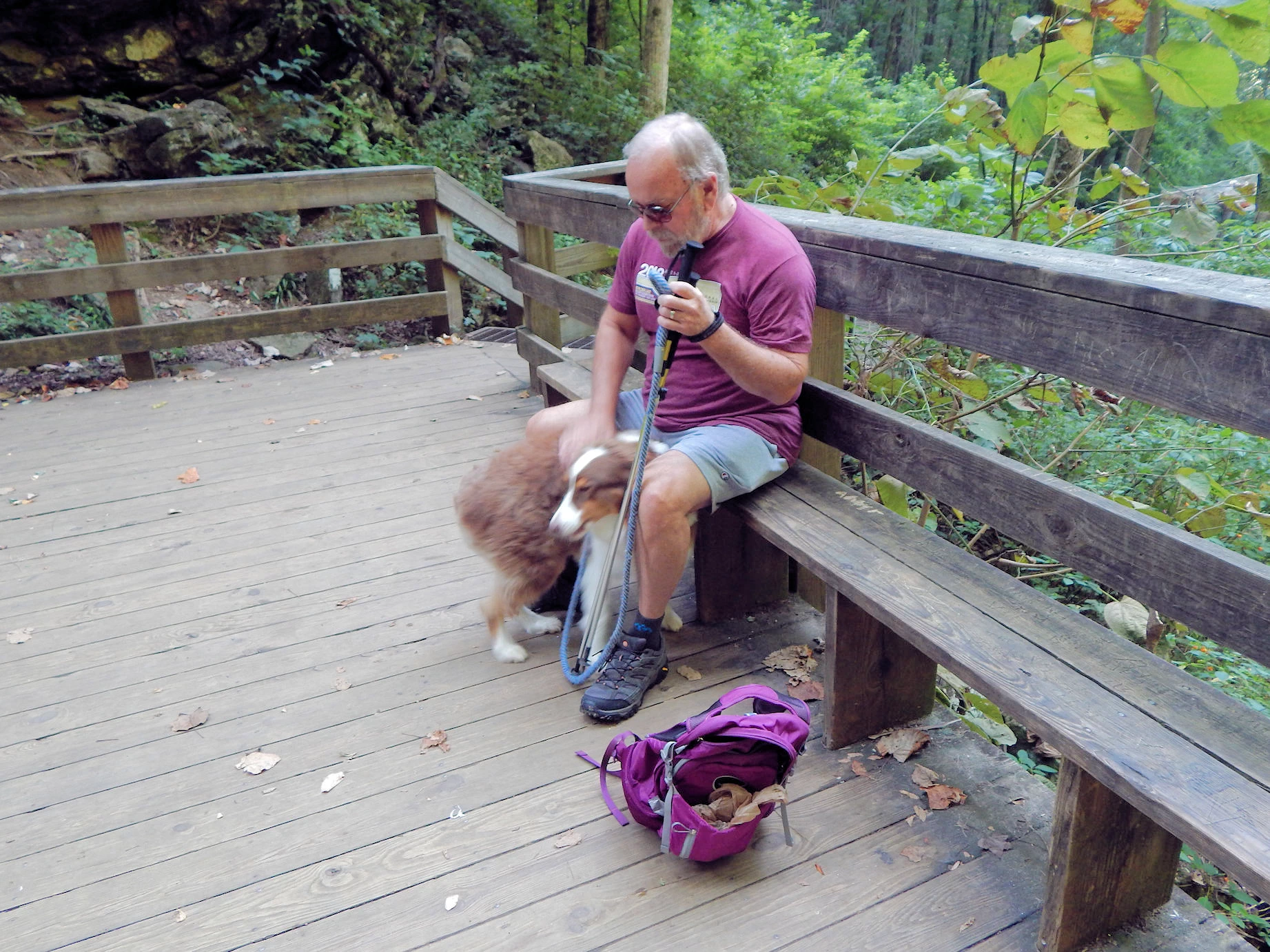
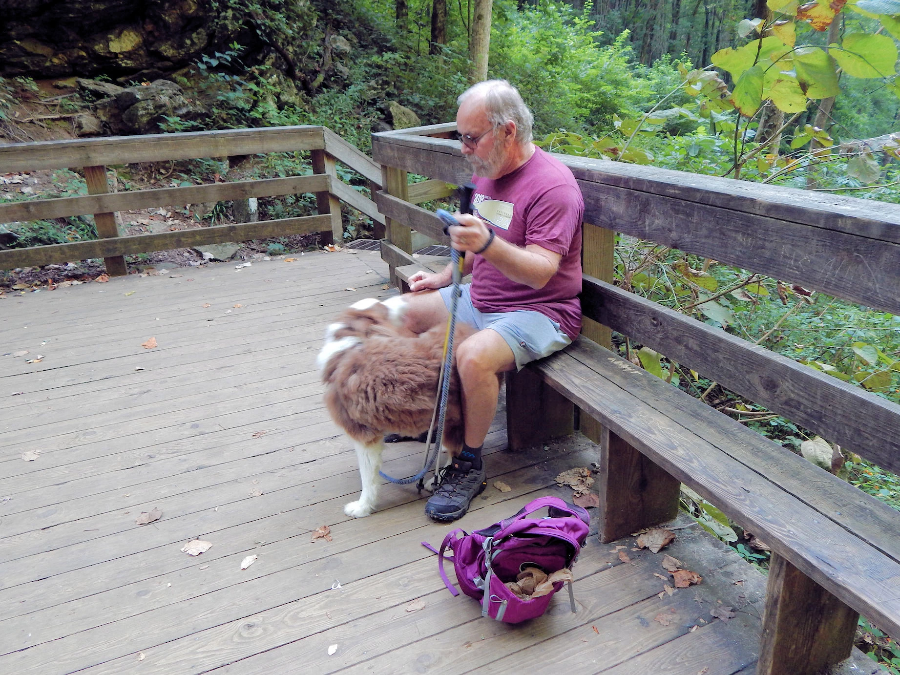
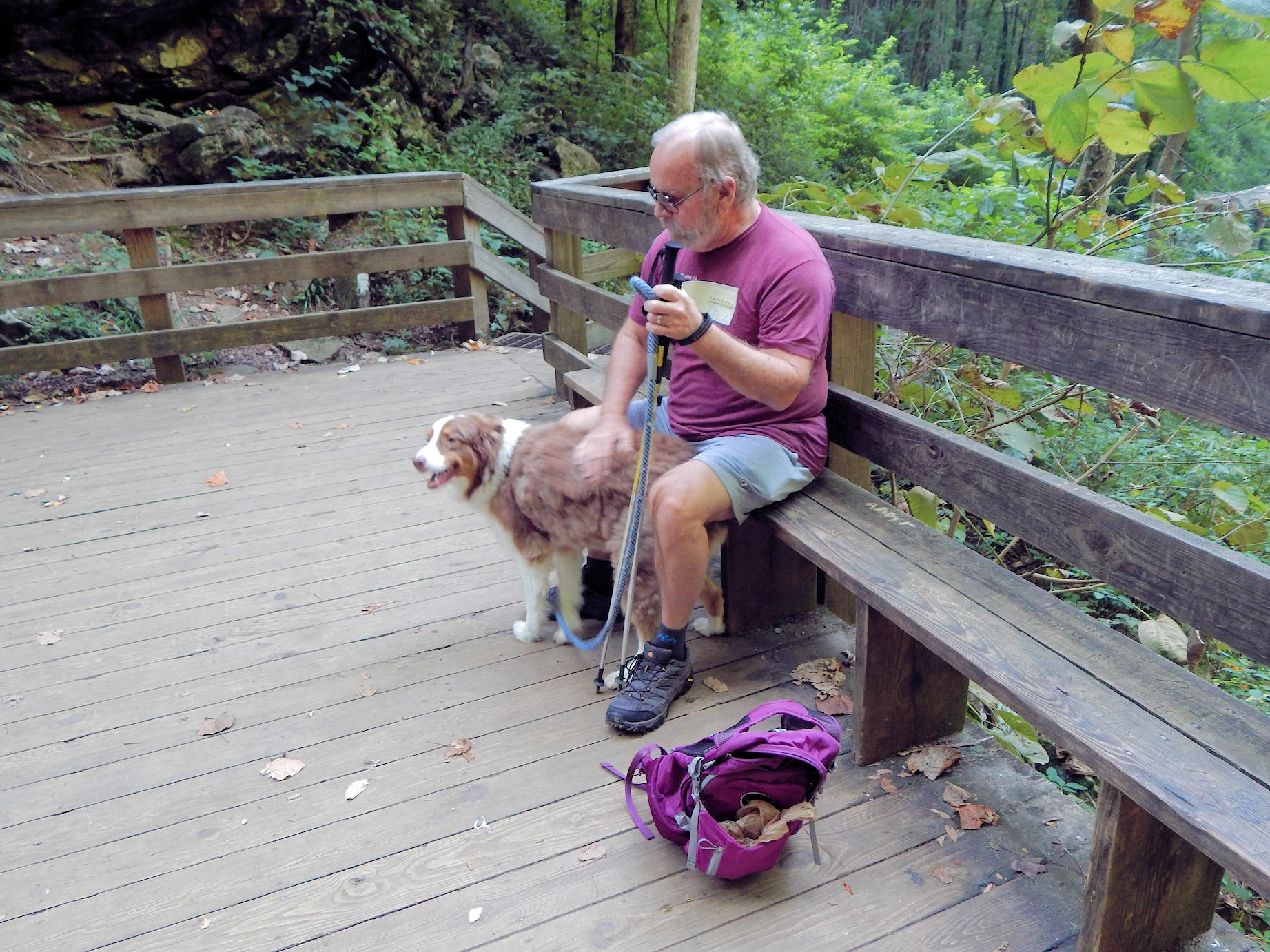
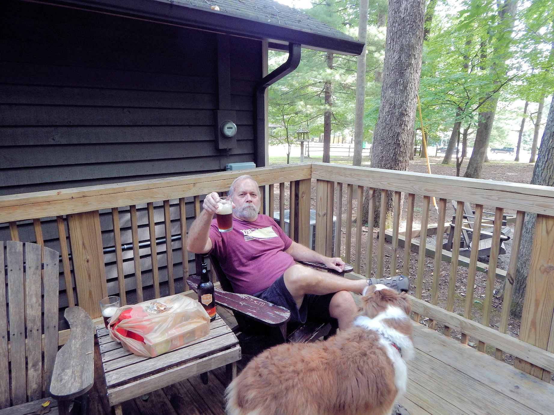 Relaxing after a long Drive
 This pic demonstrates how good it felt to not be driving any further, and how comfortable the temperature was that day. We celebrated our arrival, and then set out to explore the area.
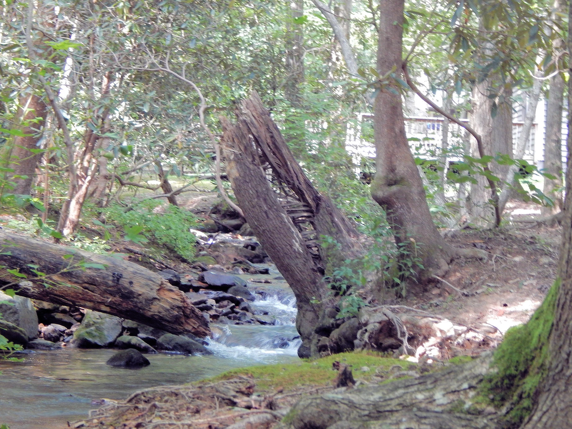
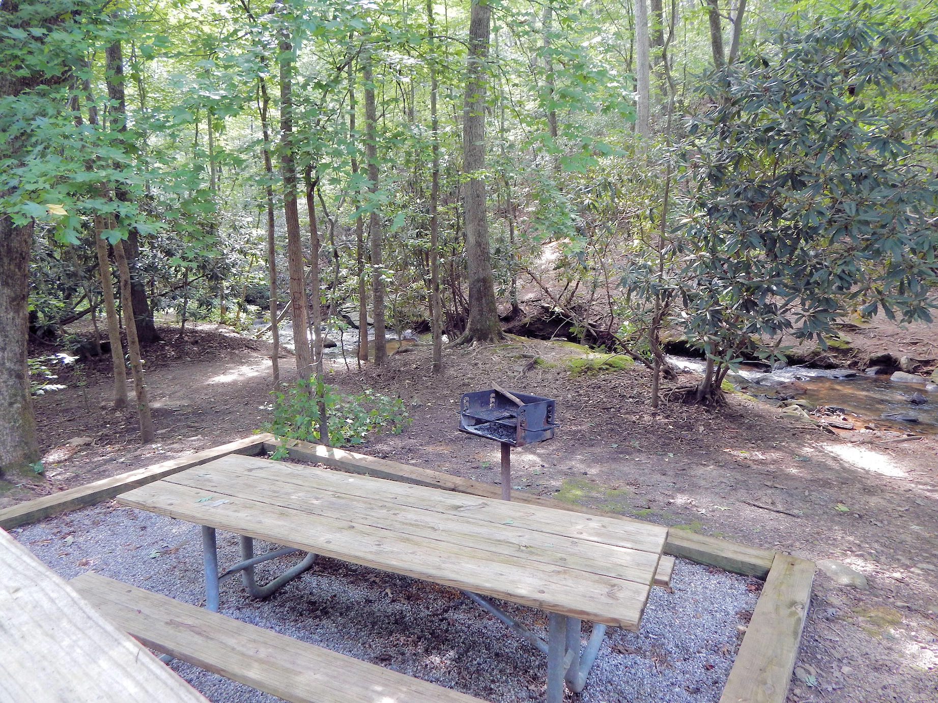
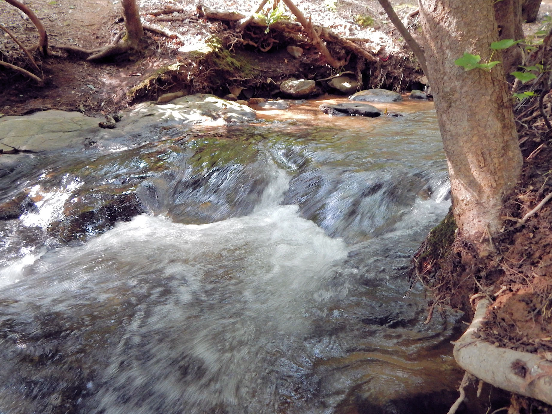
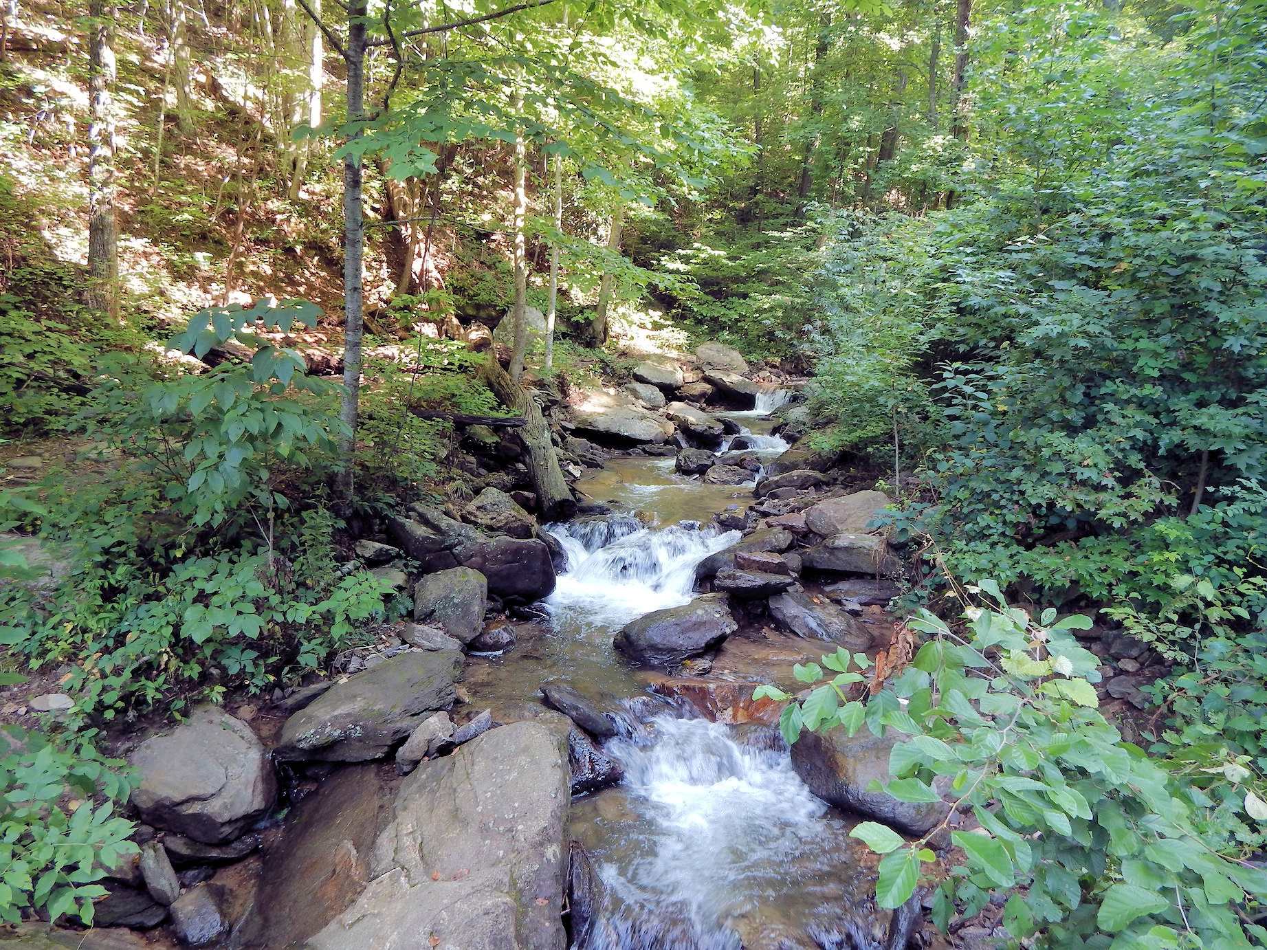
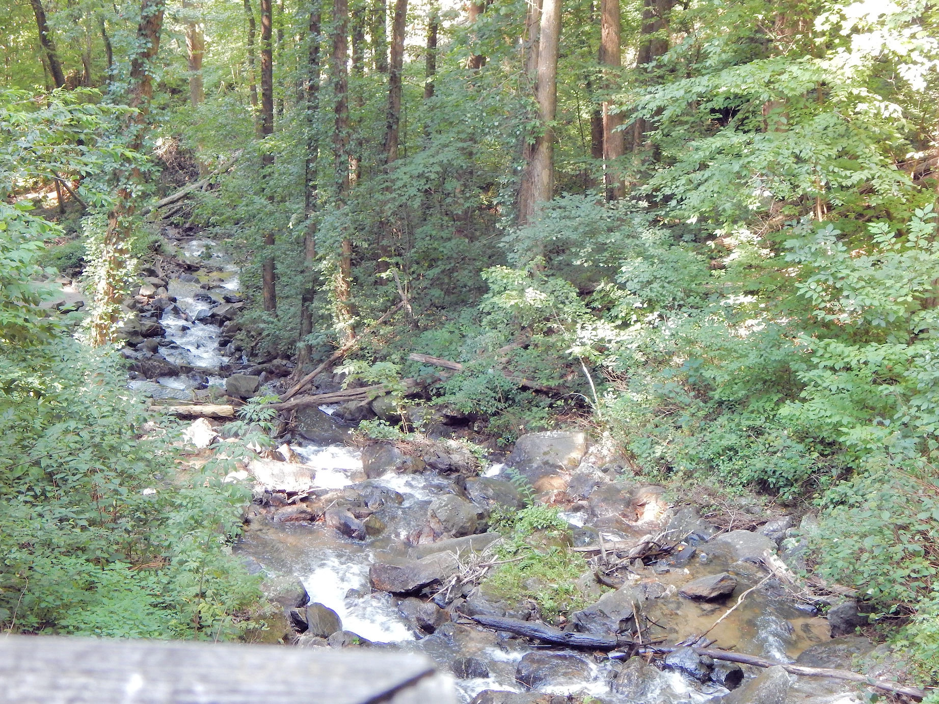
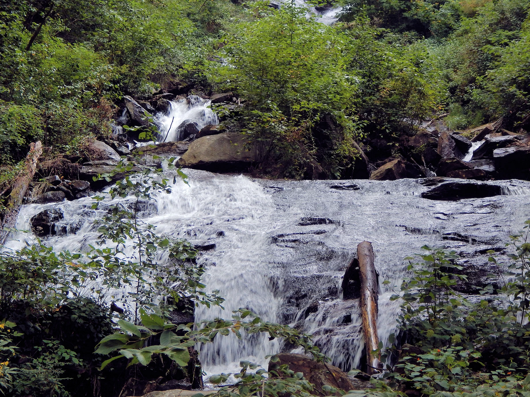
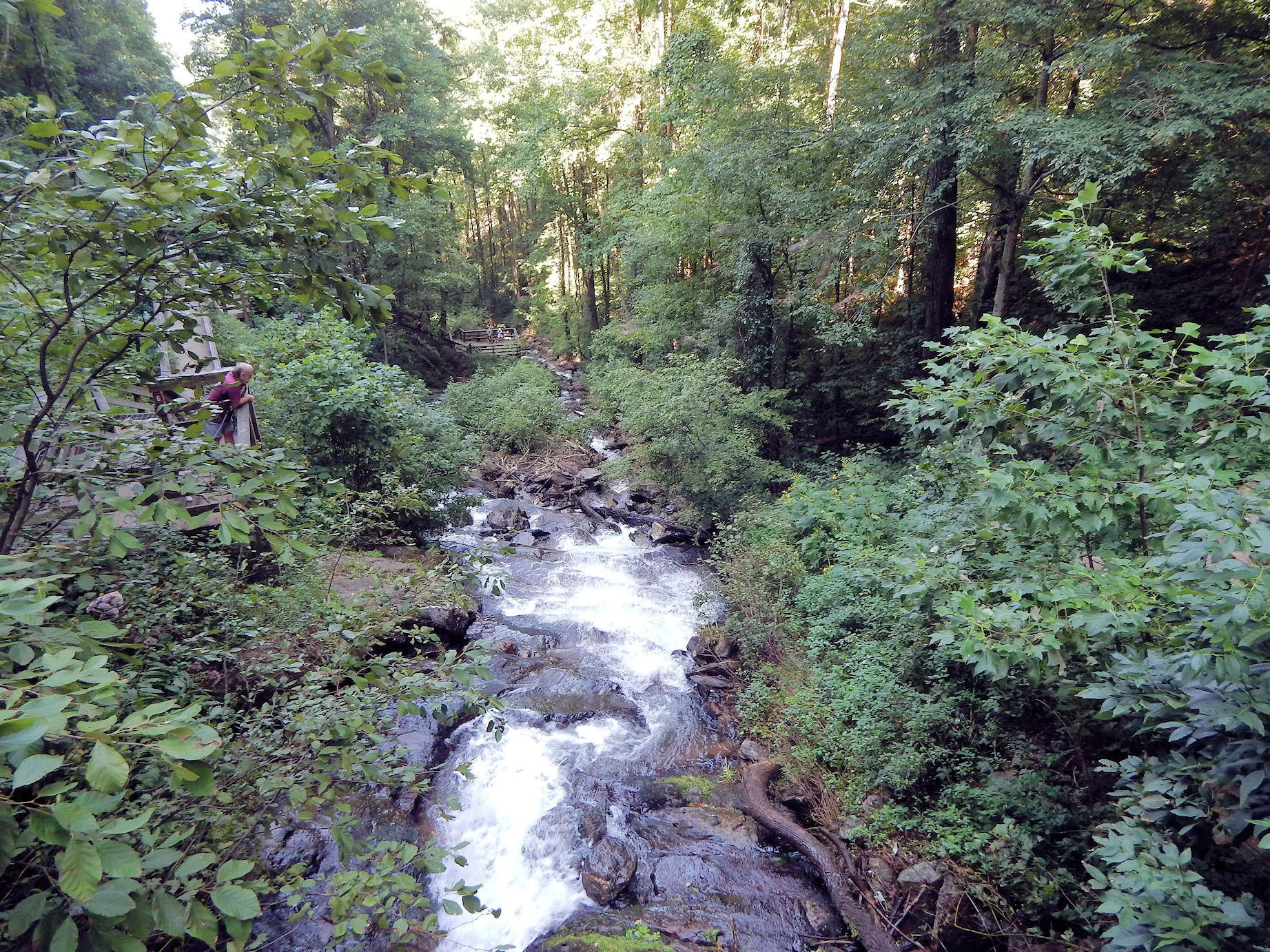
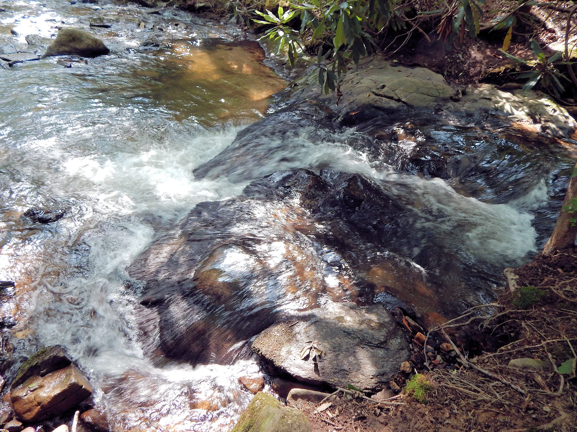 Babbling Brook!
 This is the stream that was immediately behind our cabin, is a very picturesque setting and the sound the stream made all night long was very relaxing.
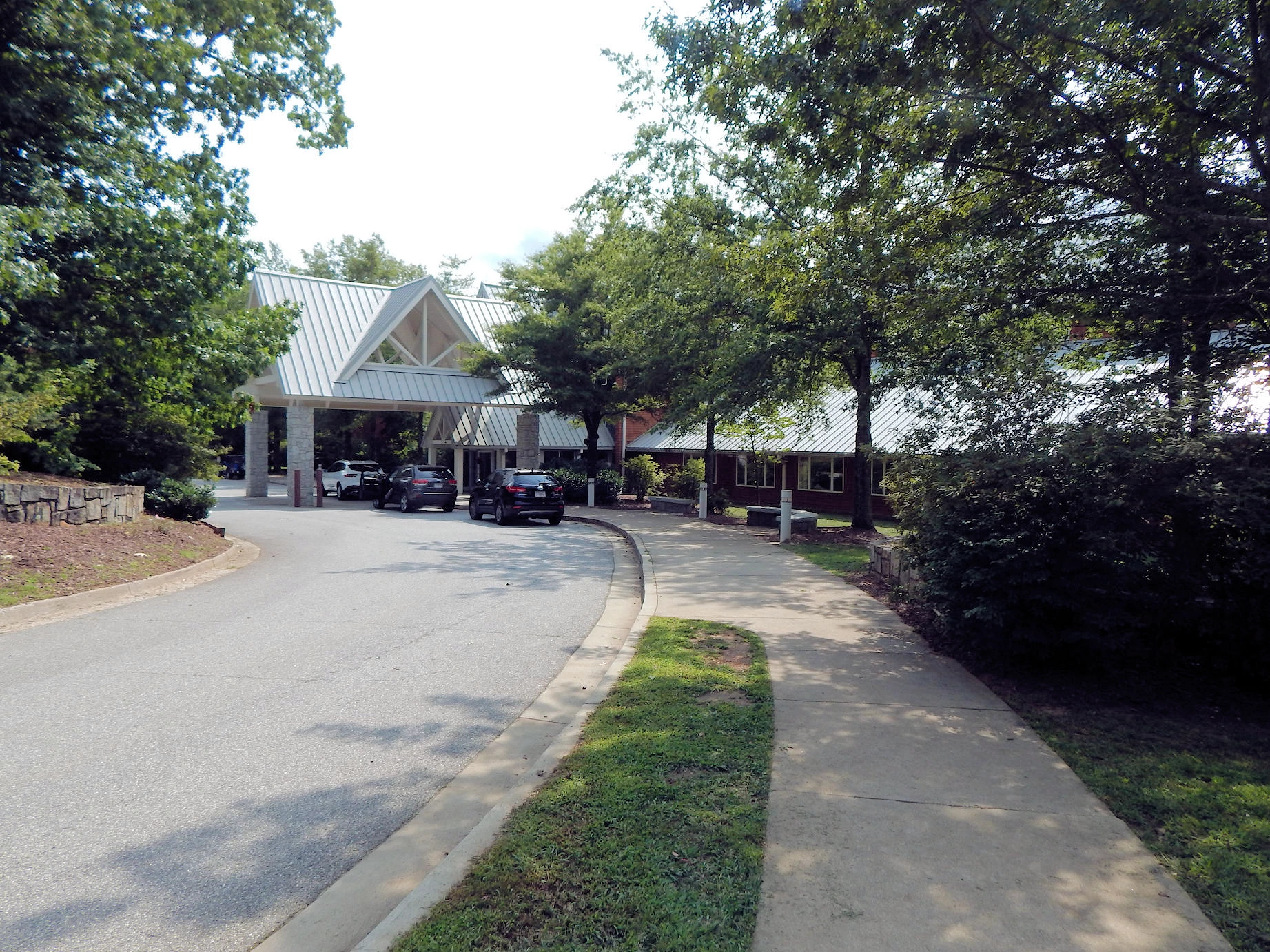
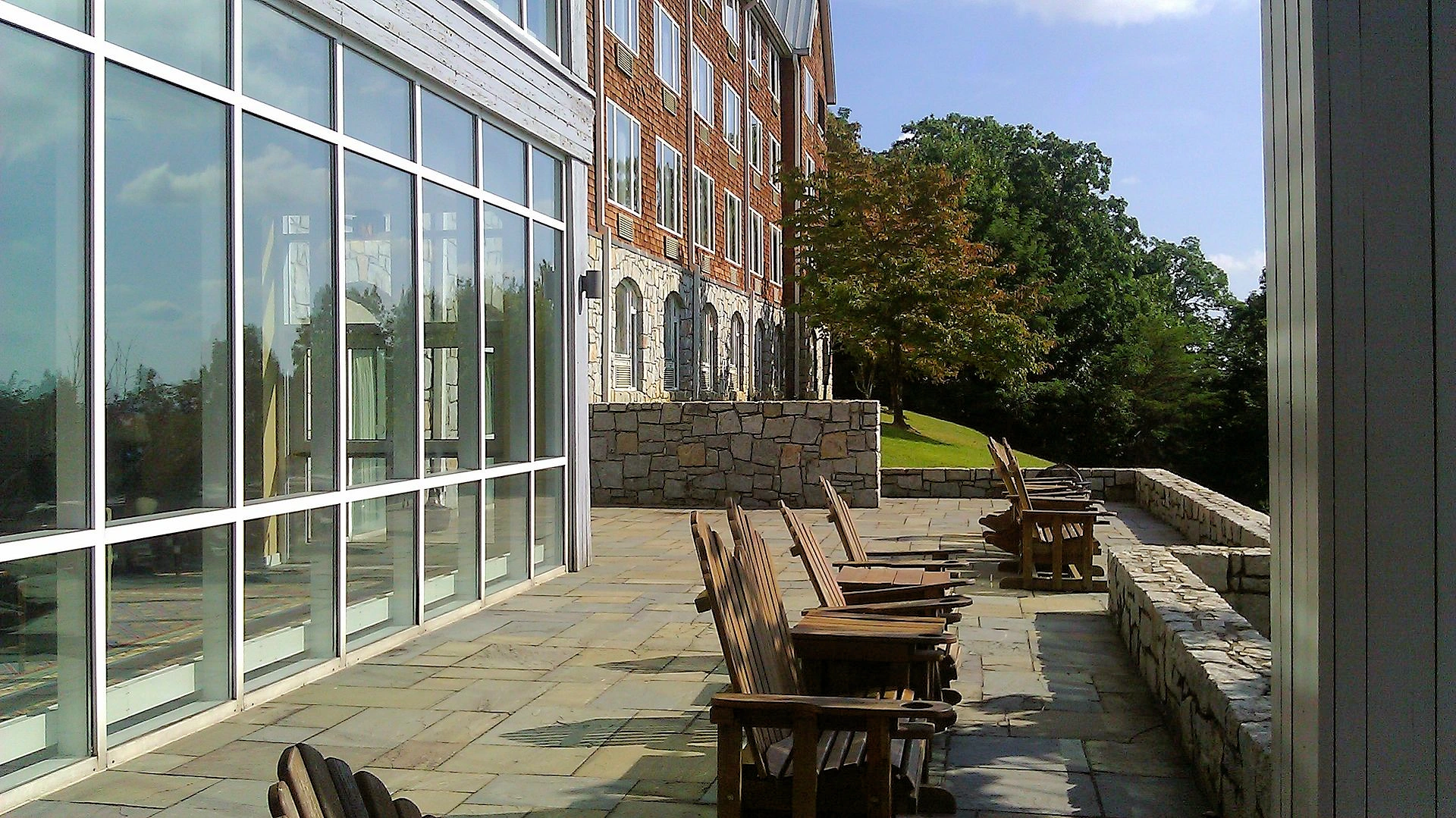
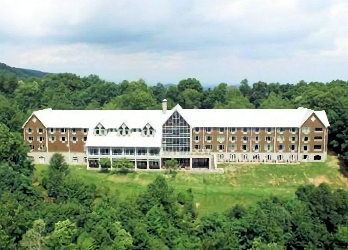 Amicalola Falls Park Lodge
 The Amicalola Falls Park Lodge is located near the top of the falls, so if you were to walk all the way up those stairs, you would arrive here at the lodge. Good restaurant here!
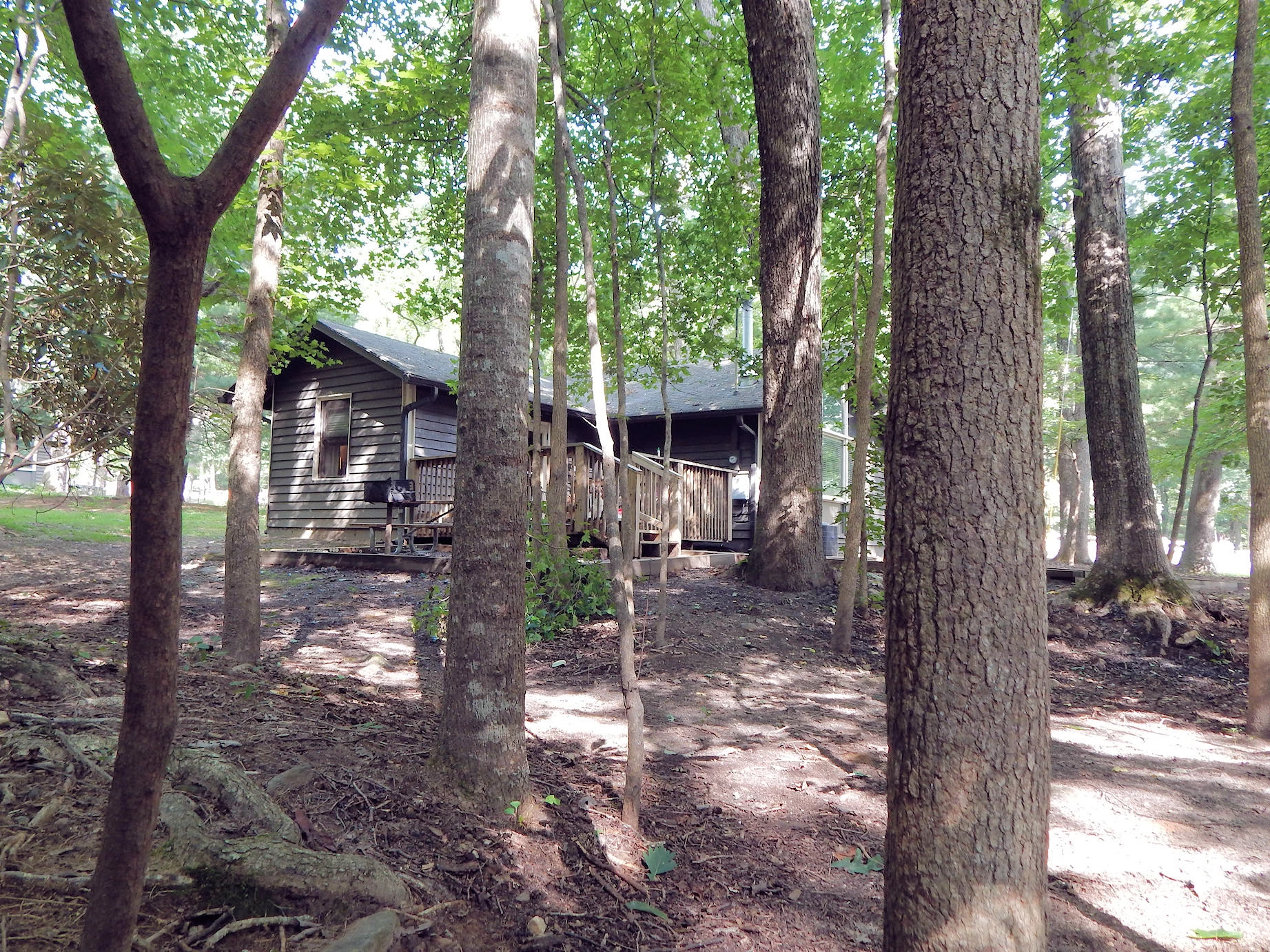
 Cabin Privacy was Great!
 Looking upstream from behind our cabin. You can see the next cabin just beyond the trees. Cabins were placed far enough apart to where noise was not a factor.
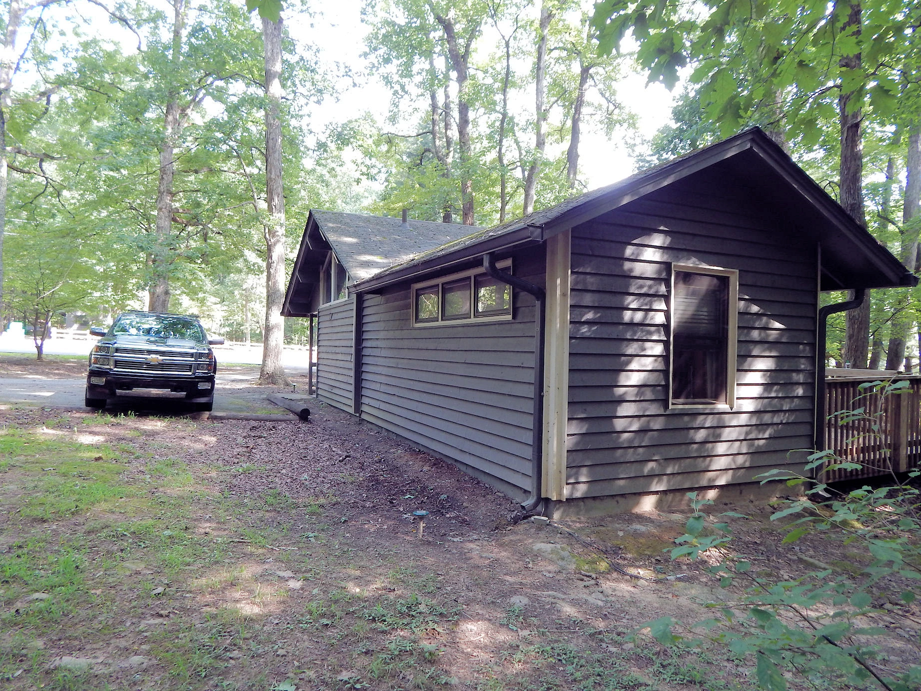
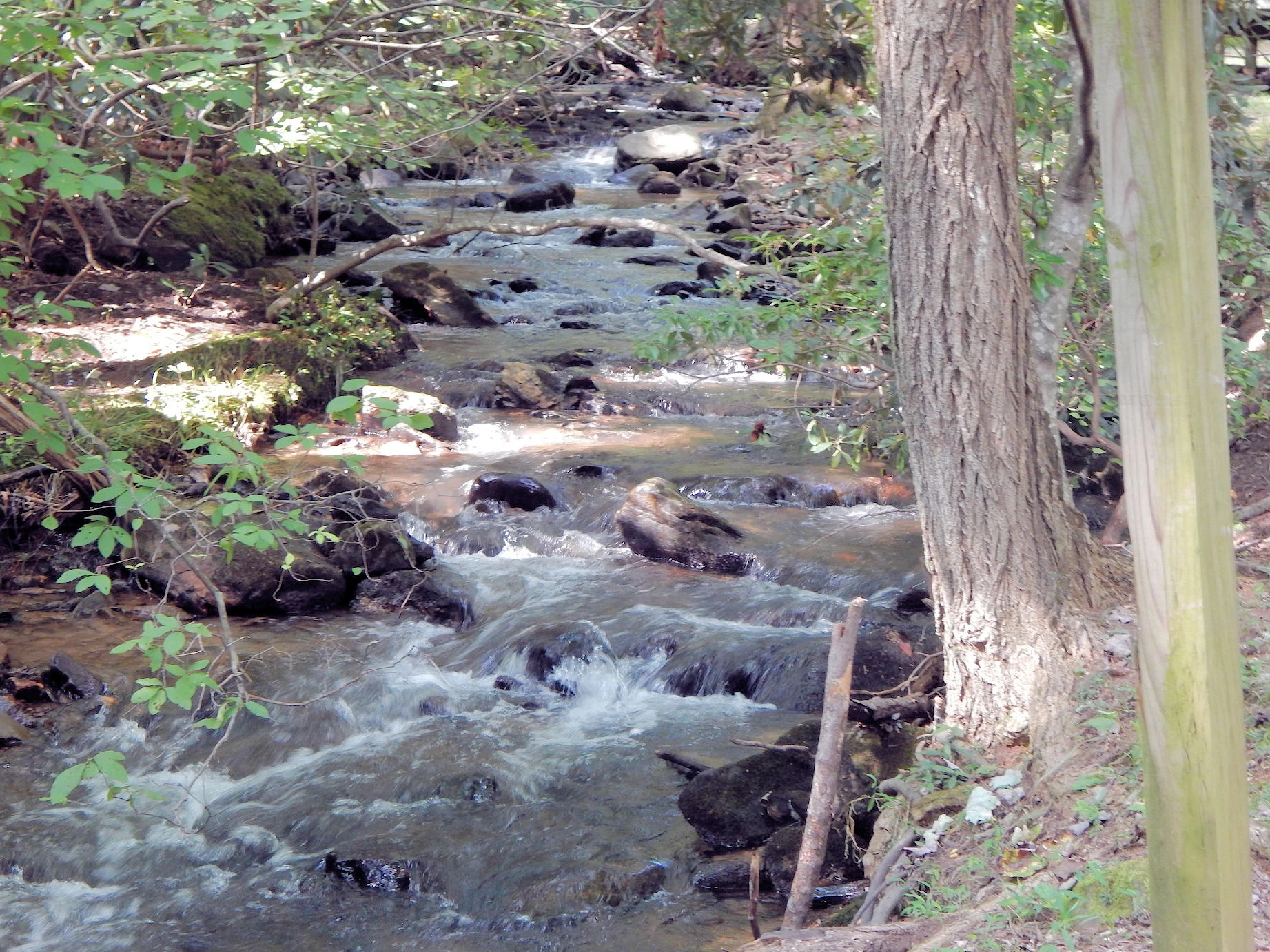
 Cabin view from the Stream
 Looking at the rear of our cabin from the stream. You can see what a beautiful setting this is, a lot of trees and lots of shade.
 Cabin size was Perfect
 This is the "bedroom-side" of the cabin, as you can see, this is a good sized cabin and very comfortable.
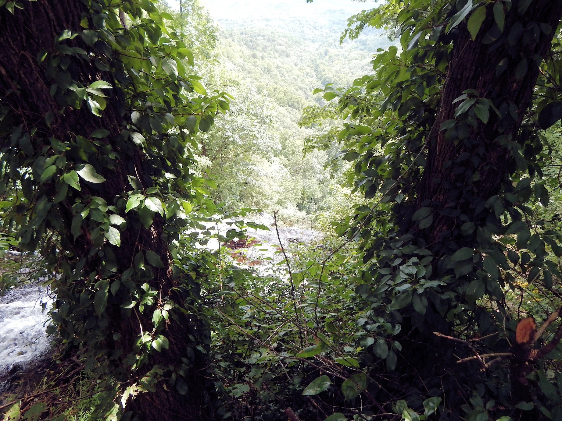
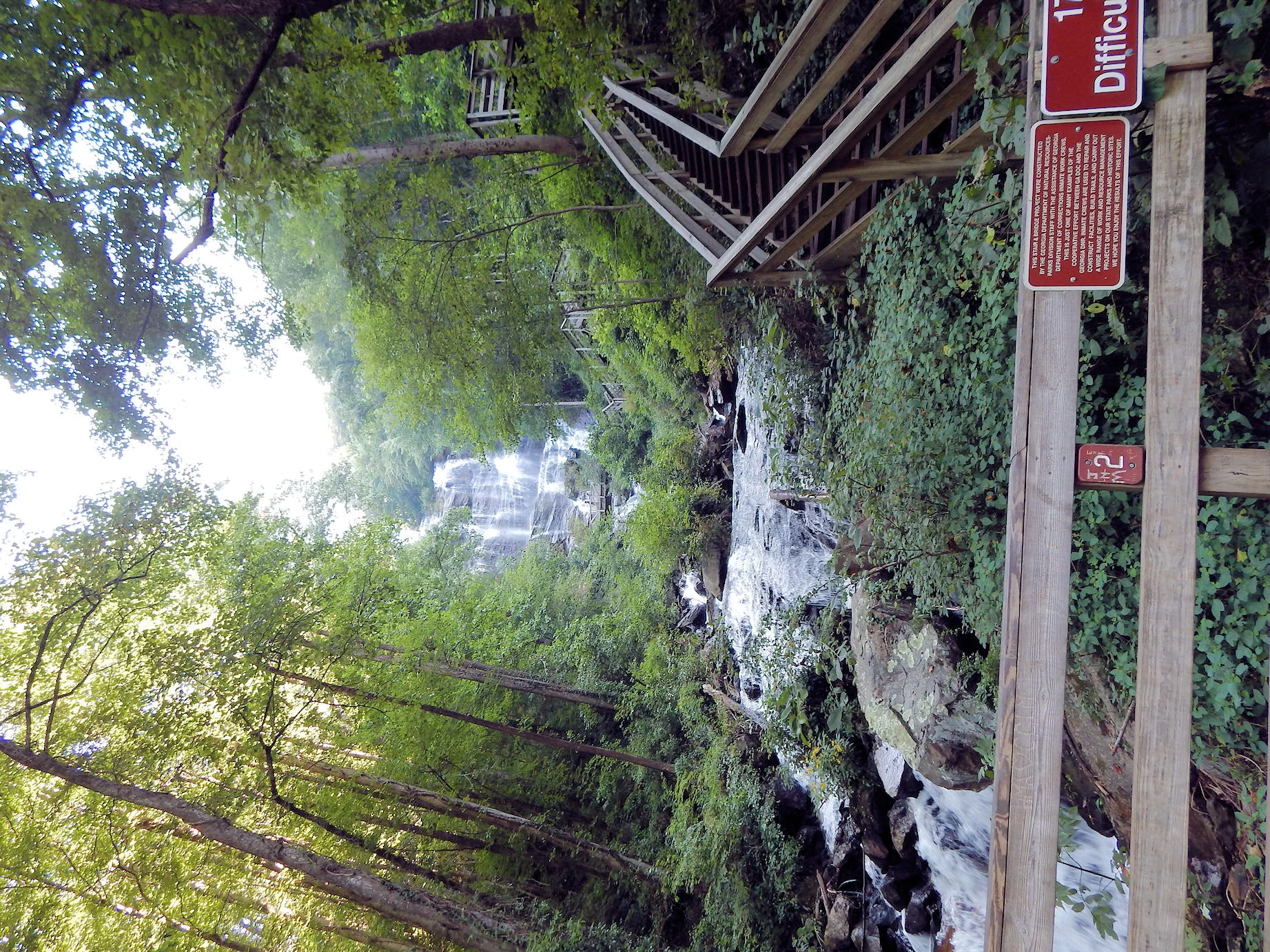
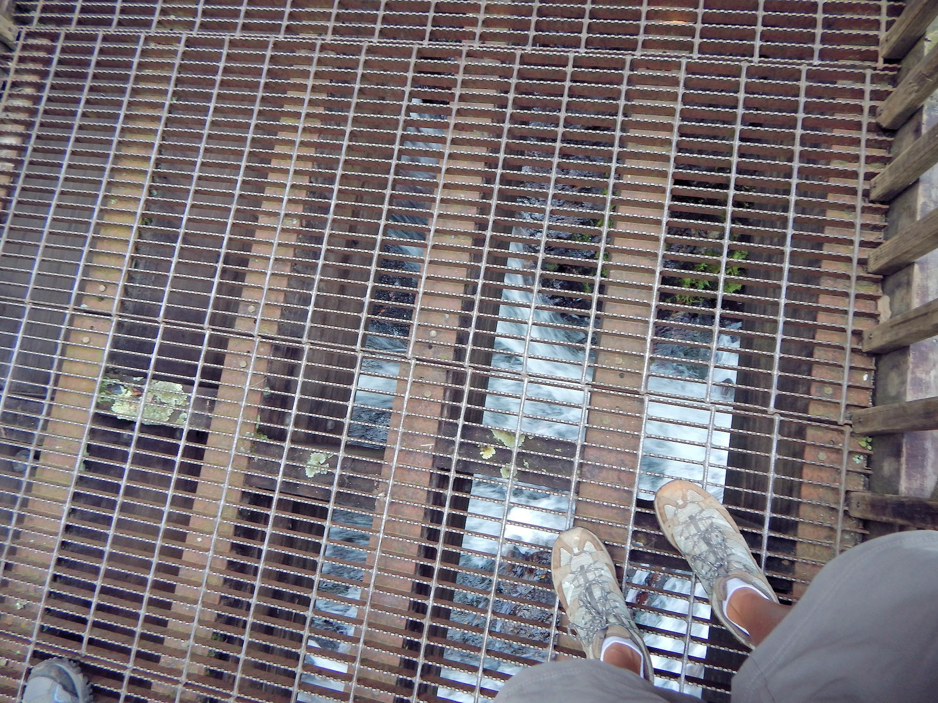
In the left side image the stairs parallel the falls and stream bed all the way up. The walk up those stairs was steep, but worth every step as the views of the stream were nice.
In the right side image, Amicalola Falls stairs do seem to go on forever, much easier going down than it was going up! You get a constant serenade from the water as it cascades down to the bottom of the hill, ending near our cabin.
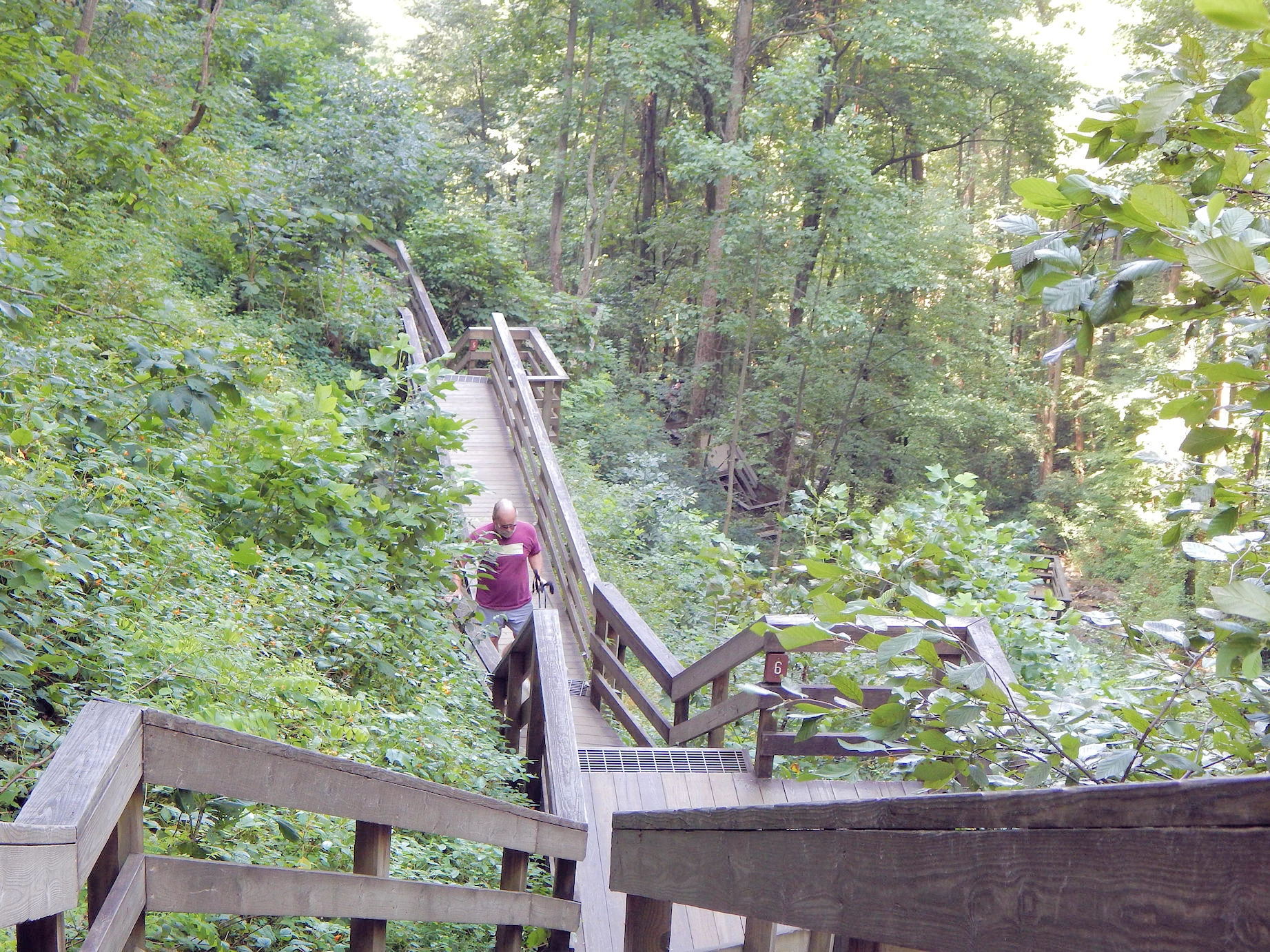
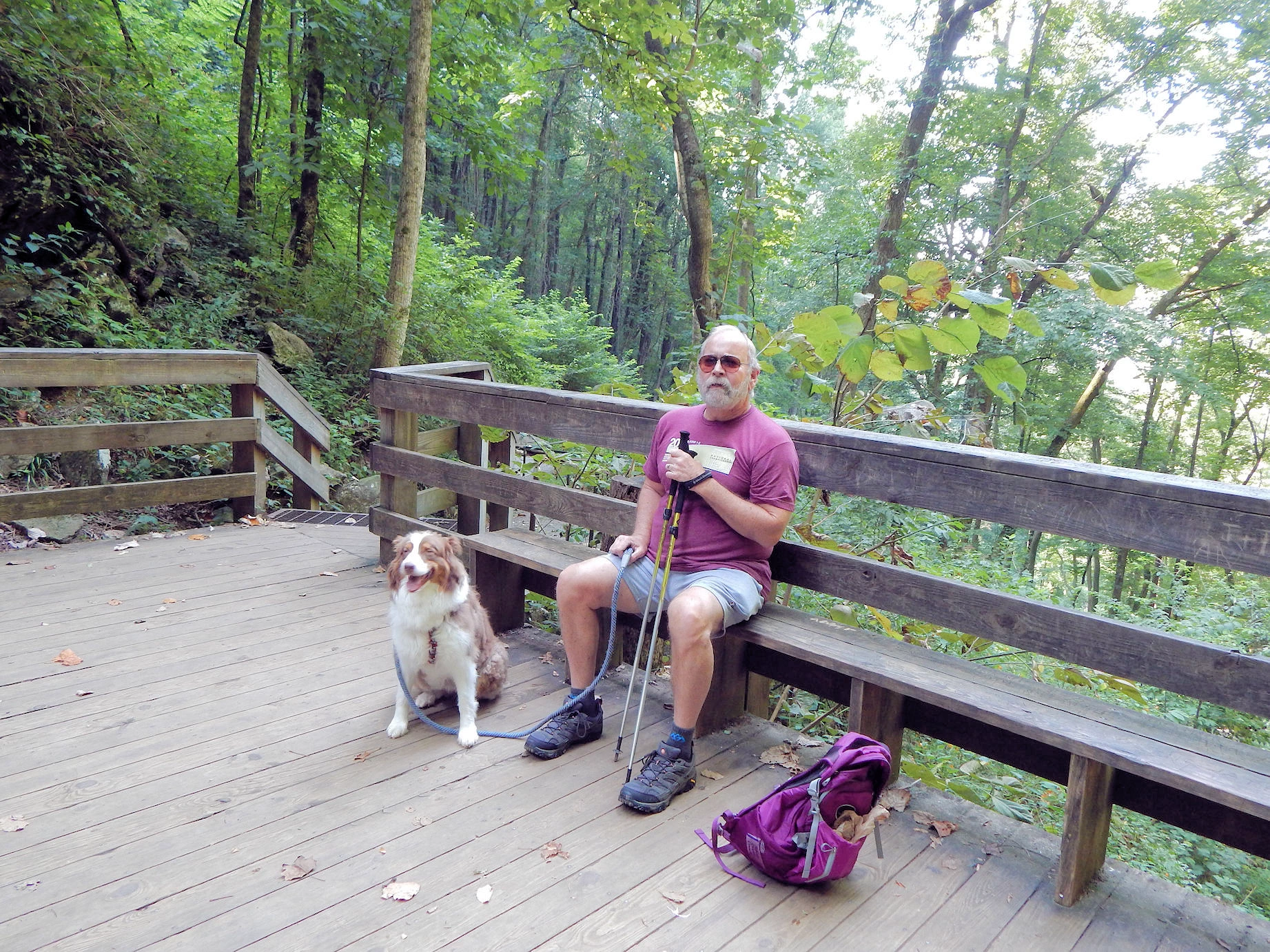
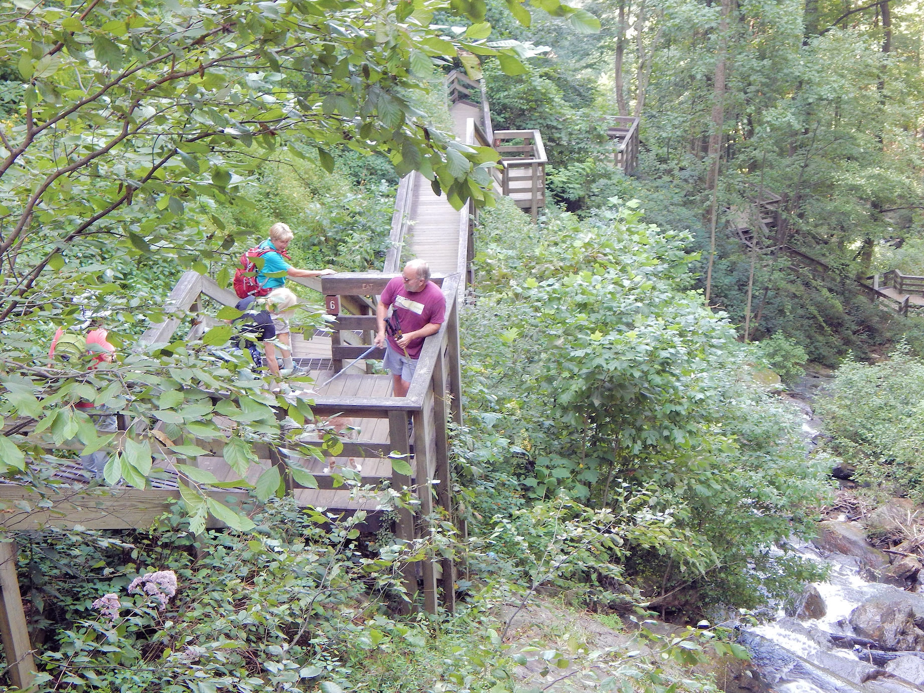
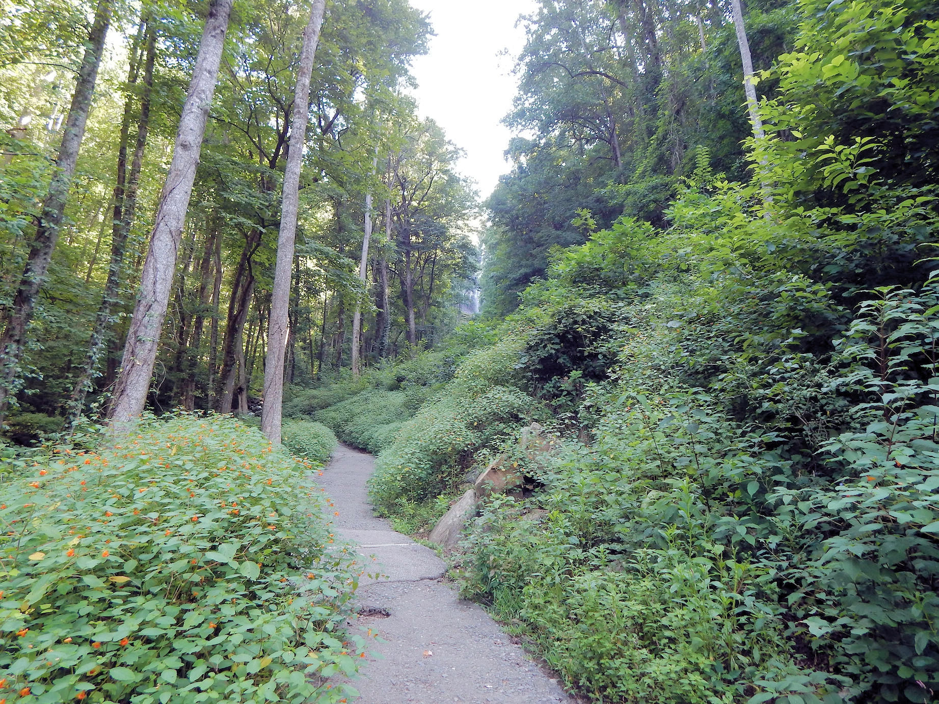 The hiking trail behind our cabin, which led us to the waterfall stairs
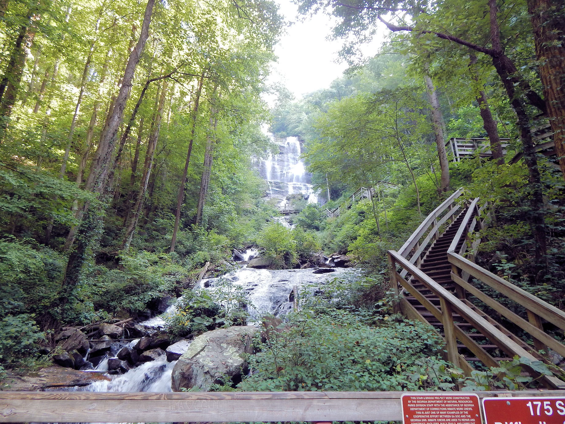 You can see how steep the stairs are, but that is where you have to go to reach the top of the falls
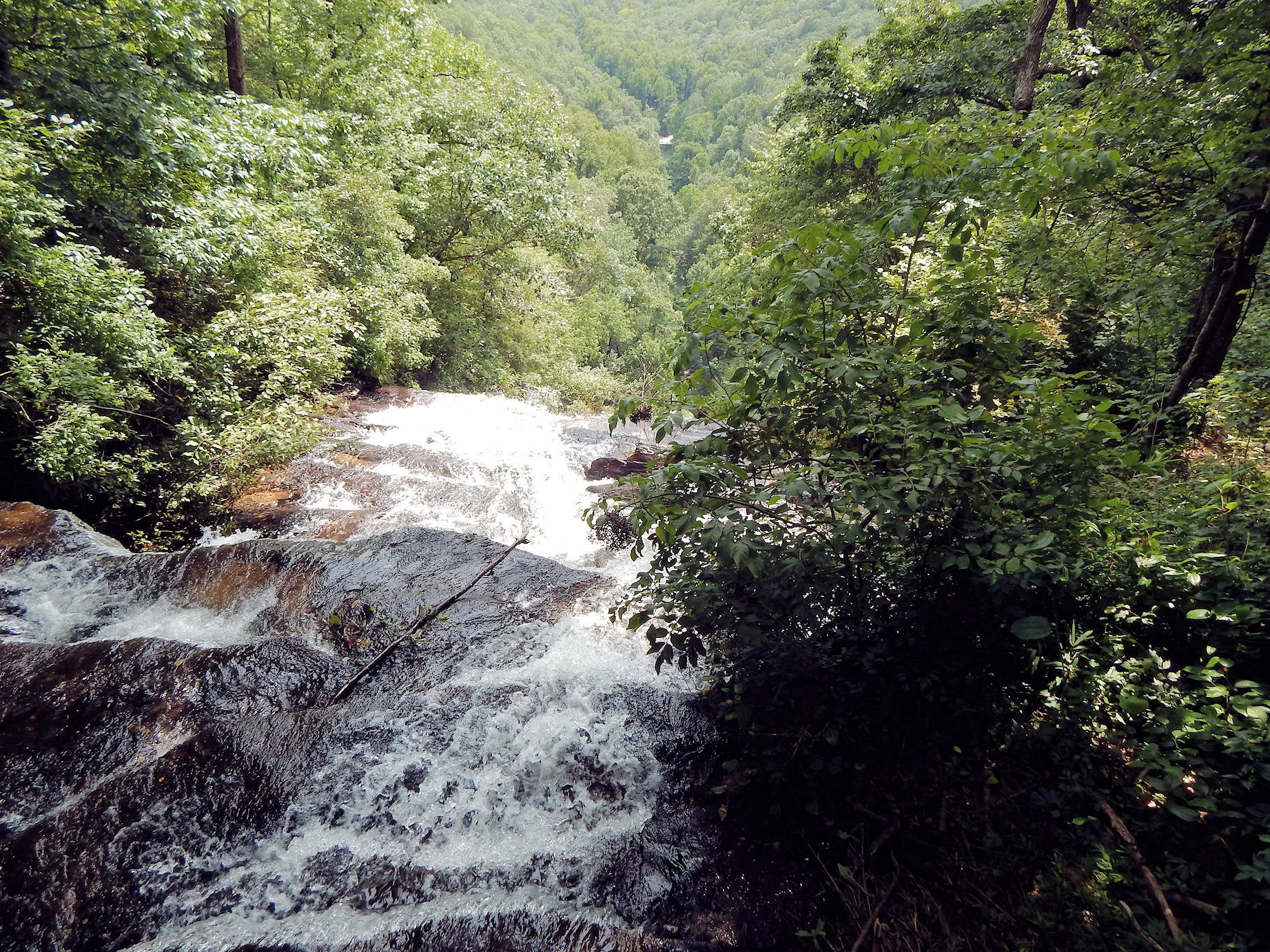
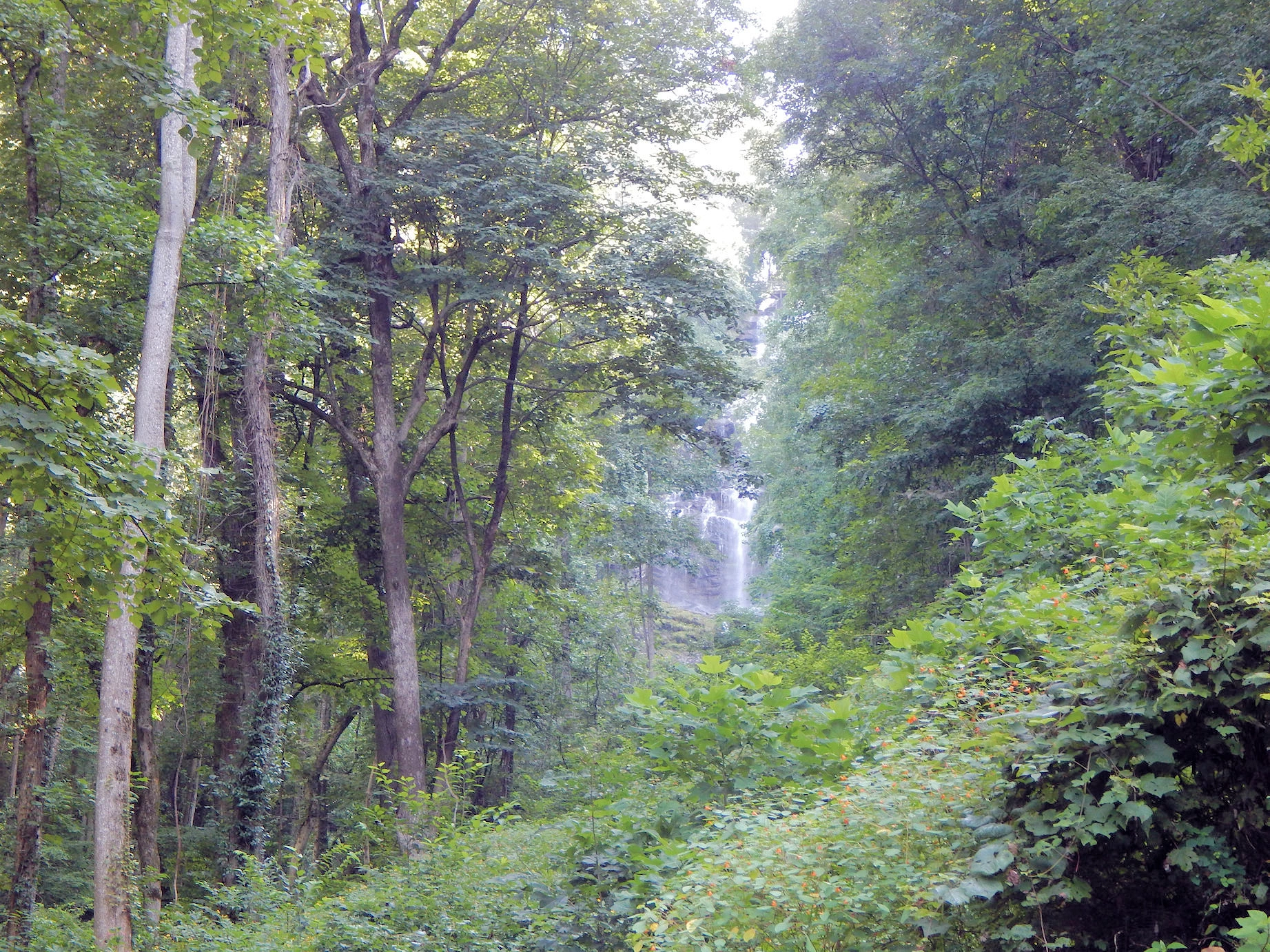
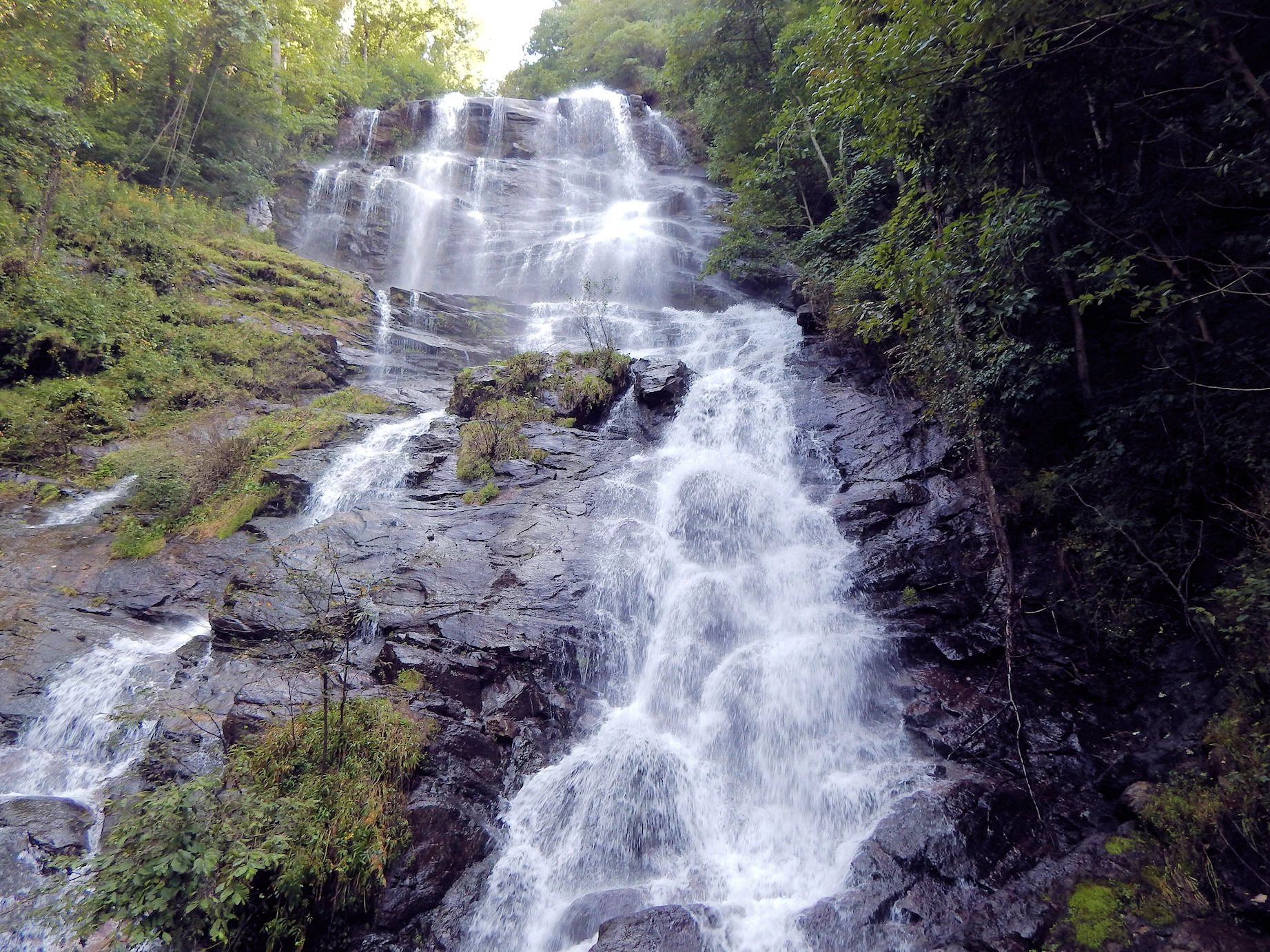 Top of the falls, fantastic view of the waterfall from the observation deck on the stairs

Note: All images featured on this page are the exclusive property of Just Traveling Thru, LLC, unless otherwise stated. When images from external sources are used, full credit is given to the original creator, along with a link to the specified license or usage terms. We are committed to respecting copyright and intellectual property rights, ensuring that all third-party images are properly attributed. If you have any questions regarding image ownership or usage rights, please feel free to contact us.
Affiliate Links: We may earn a commission if you make a purchase through one of our affiliate links. This helps support our travel content — thank you!
Content: To review any of our content, make suggestions and/or comments, please click the "About" menu link at the top of this page. You will find our "Contact Us" link on that drop-down menu.
 Click above Image to view larger Google Map
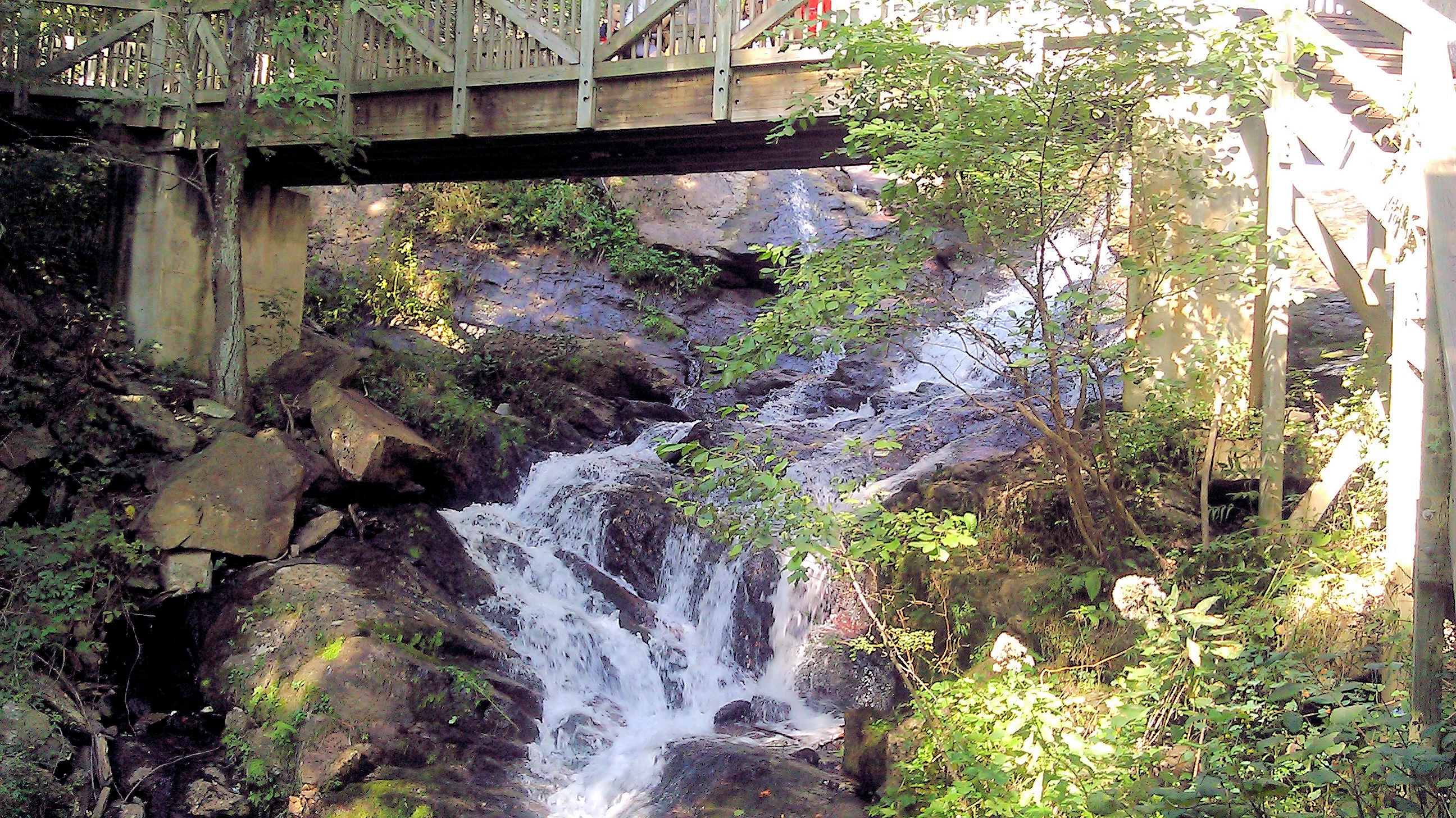