
by Celeste Lipford and Terry Lipford - last updated on 7/15/2025
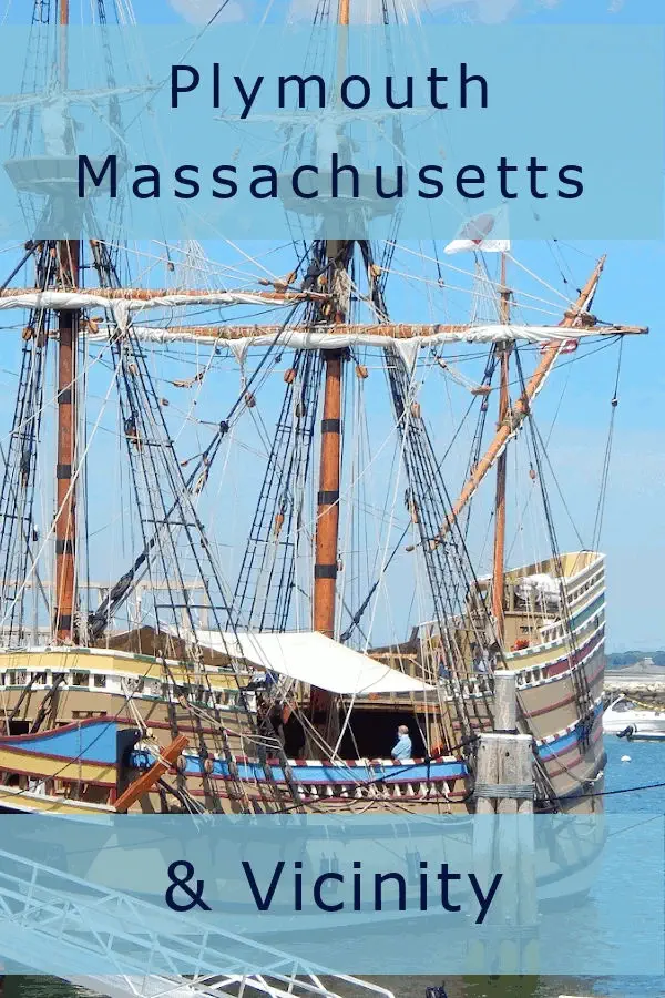
Traveling in 2020 has gotten a bit more complicated due to COVID-19. We were disappointed to cancel plans for a European trip in September. After months in isolation we decided to take a trip to Plymouth, Massachusetts for mostly family reasons. However, we ended up fitting in some nice day trips and were excited to see the newly restored Mayflower sitting in Plymouth harbor. This year Plymouth is celebrating the 400th Anniversary of the Mayflower voyage across the Atlantic and the founding of Plymouth Colony. It's a four nation commemoration involving the United Kingdom, the Netherlands, the United States and the Wampanoag Nation. Click here for the official website of the Plymouth 400 commemoration.
Plymouth county was created in 1685. As of the 2023, the population was 535,308 and it is the third largest county in Massachusetts by total area. It’s 434 square miles and includes about 42 towns and cities stretching from Hingham to Plymouth and south east to almost the Cape Cod Canal.
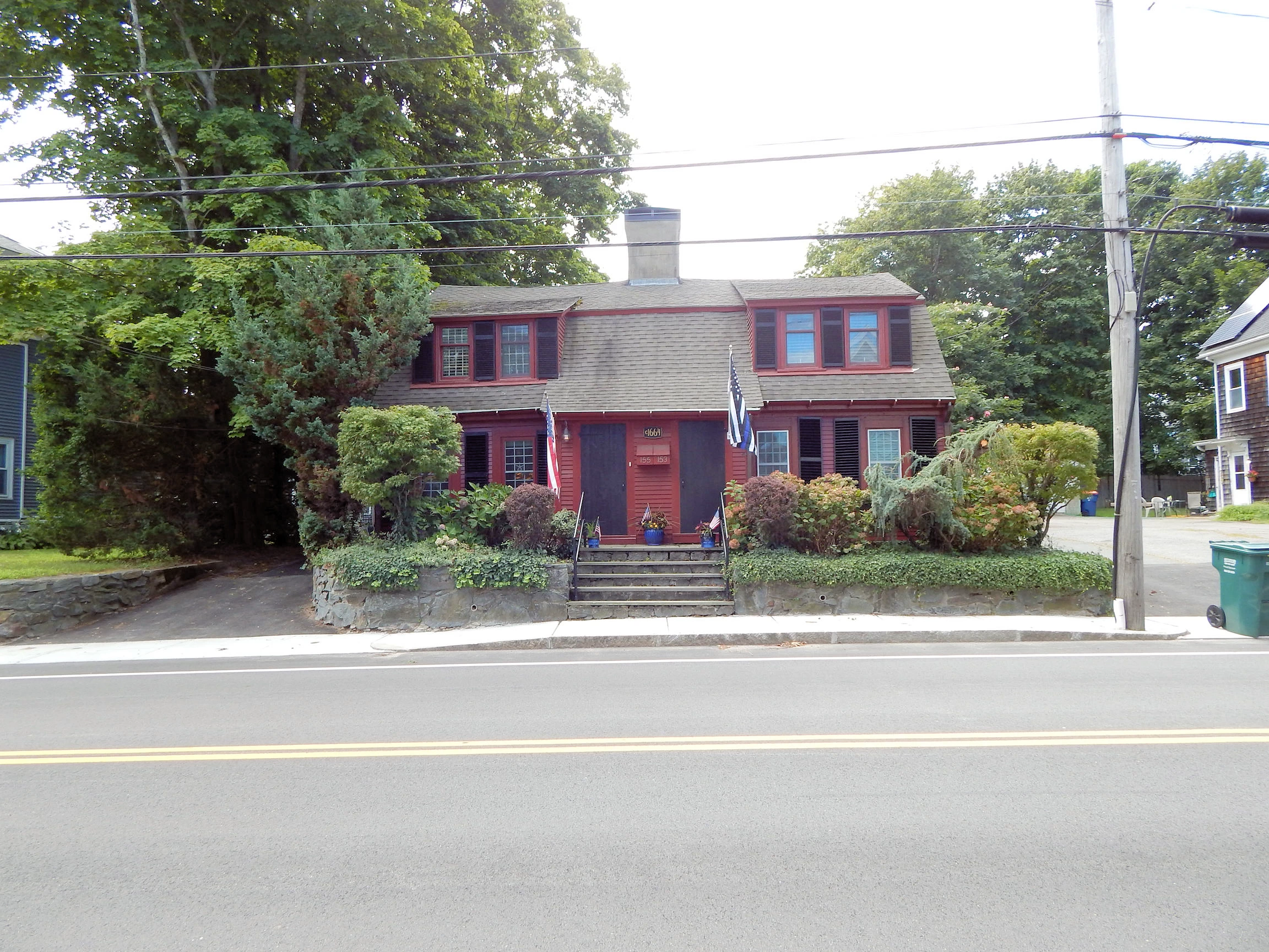
Plymouth Colony is one of the first American colonies (1620) preceded by only a few other colonies such as Roanoke (1585), Jamestown (1607), and St. Augustine (1565). The colonial architectural influence in Plymouth is present throughout the town. As I walked from my brothers house, which was built in 1860, down to Plymouth Harbor I wandered by a home that was built in approximately 1664. It’s hard to find buildings this old in the United States and I stopped to appreciate the significance and to think about what life might have been like during that time in the town.
 Plymouth Colonial Influence
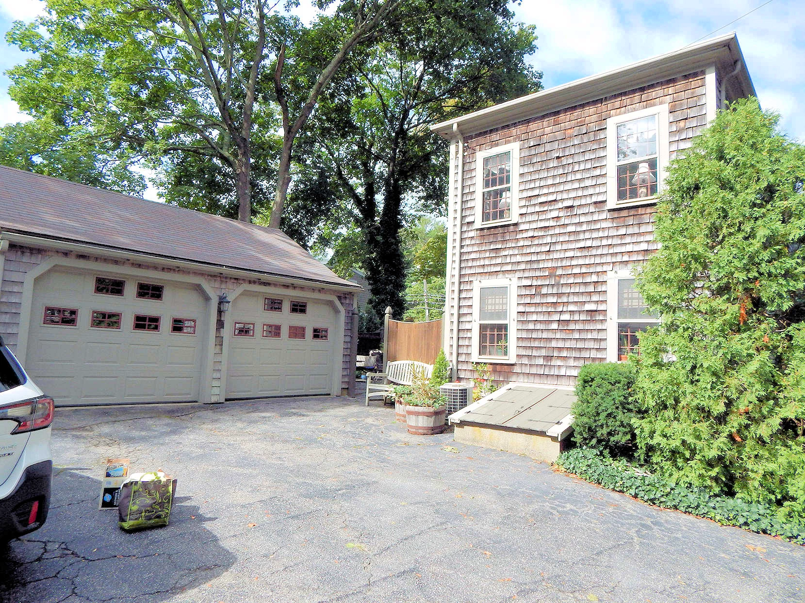 Plymouth Colonial Influence
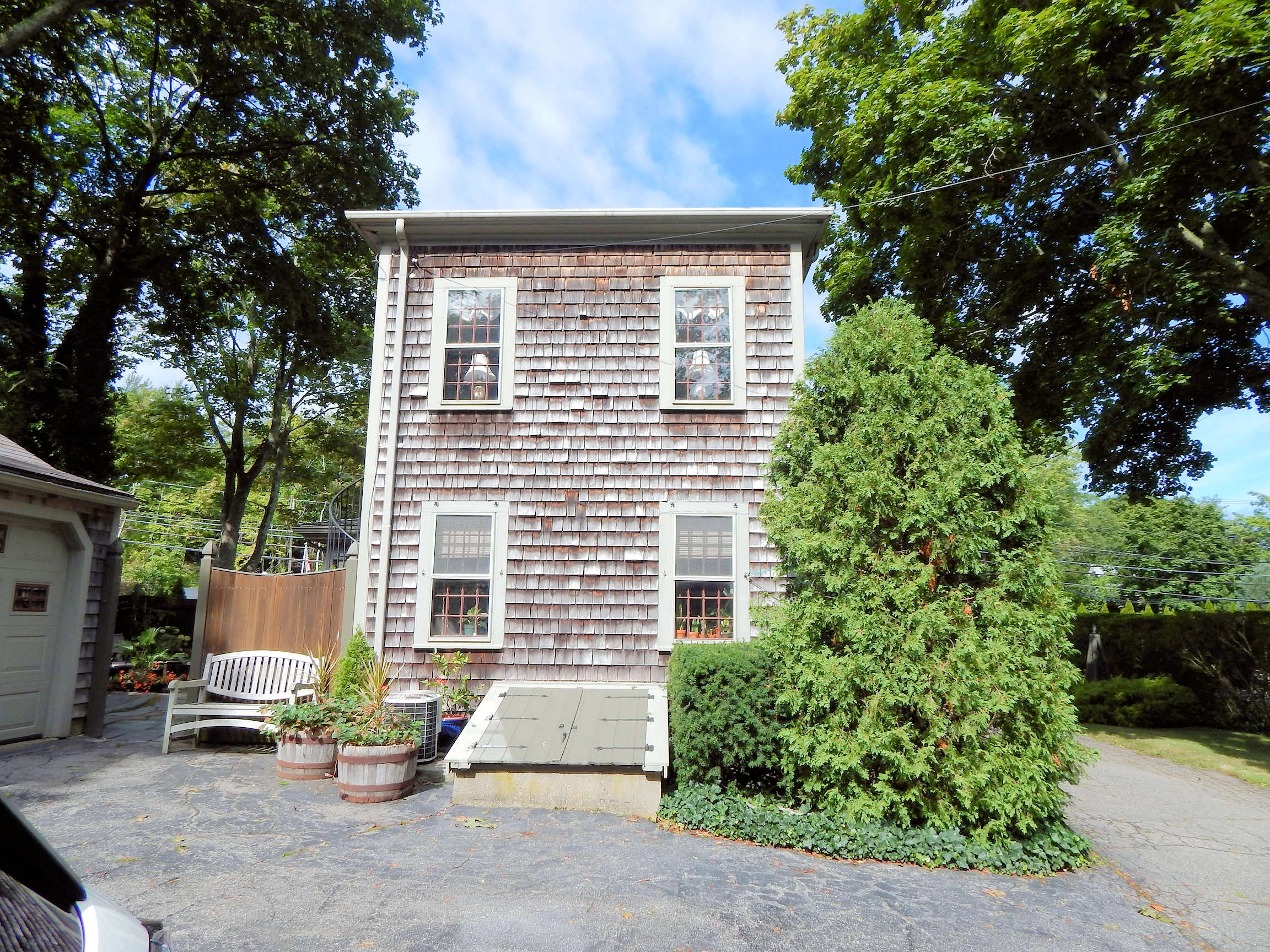 Plymouth Colonial Influence
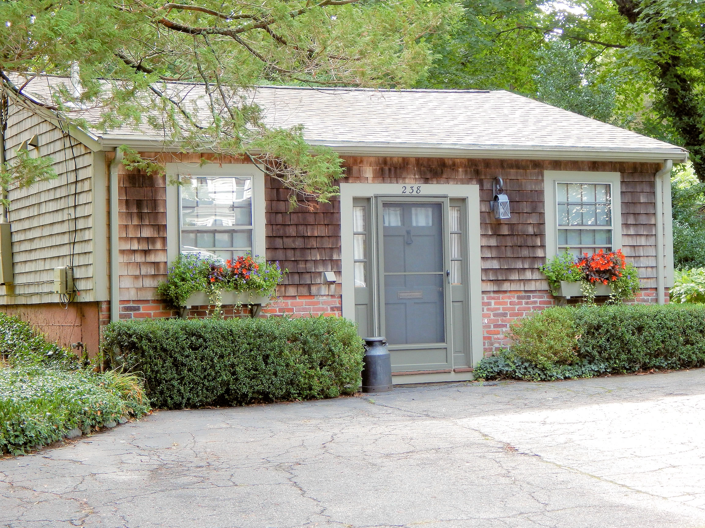 Plymouth Colonial Influence
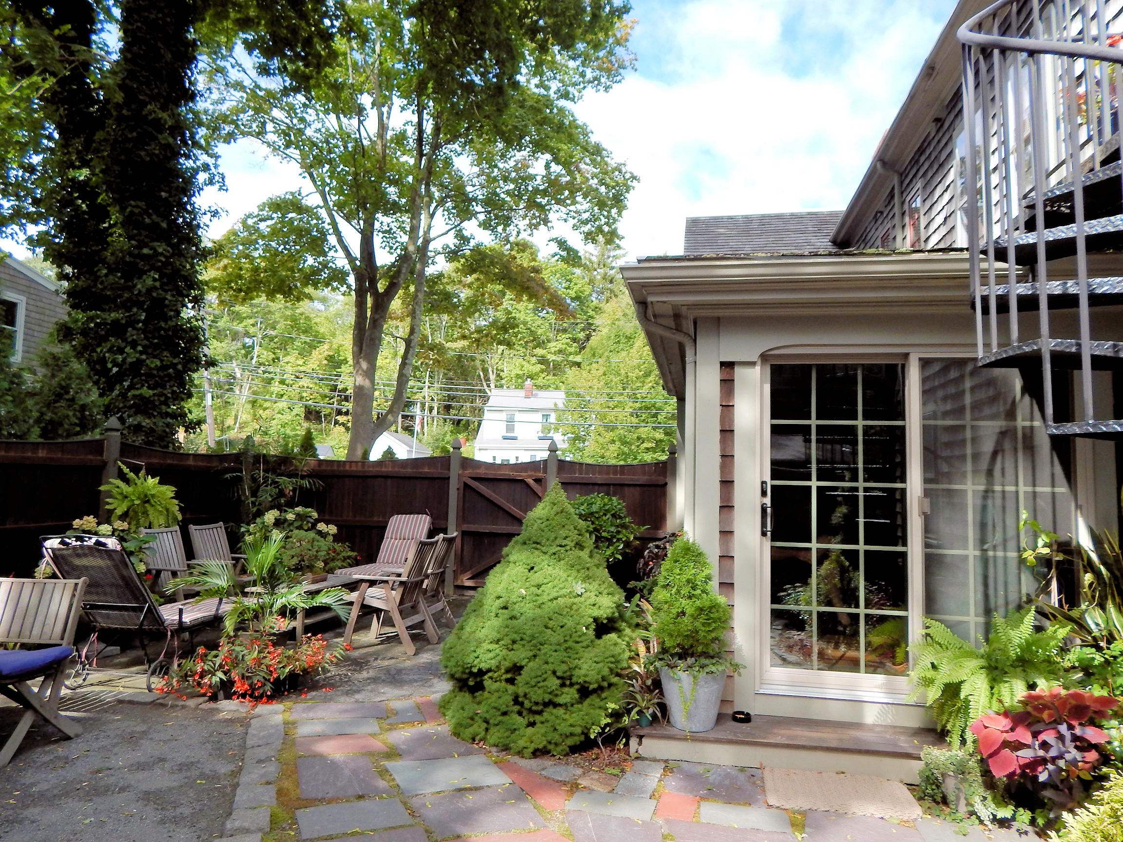 Plymouth Colonial Influence
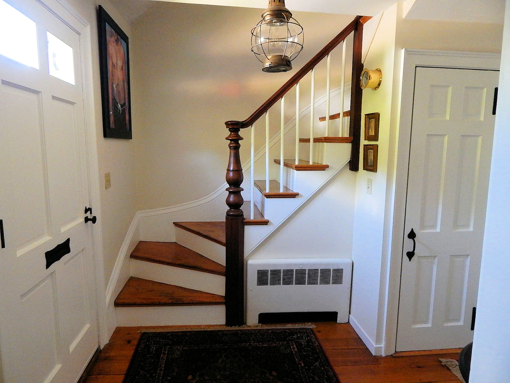 Plymouth Colonial Influence
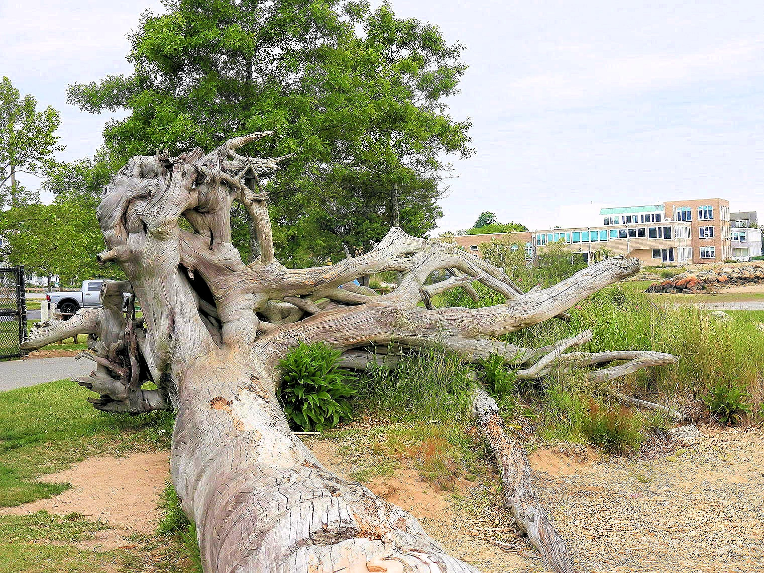
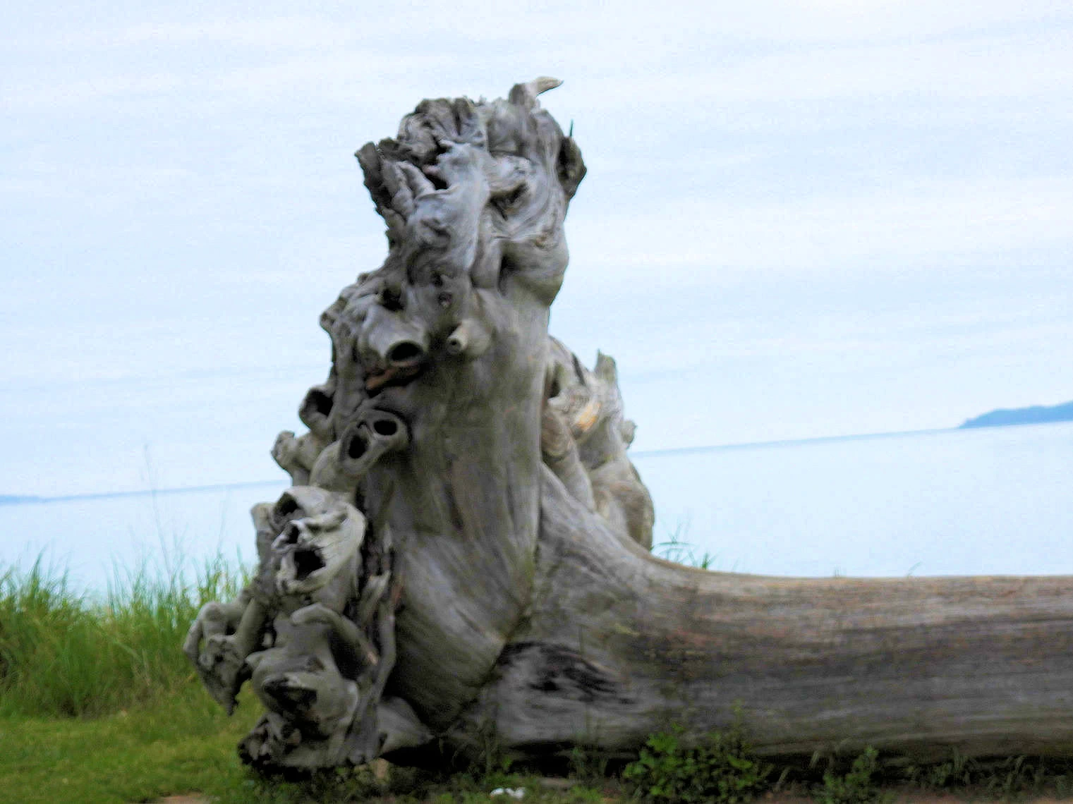
The images above show a home we walked by on our way to downtown Plymouth, which was built circa 1664, The other images show my brother’s home which was built in 1860 and has been featured in the local newspaper a few times and opened for a Christmas tour of homes on occasion. When viewing the house from the outside the narrowness of the building strikes me. His home contains two apartments and I love the courtyard in the backyard.
 Plymouth Rock Building
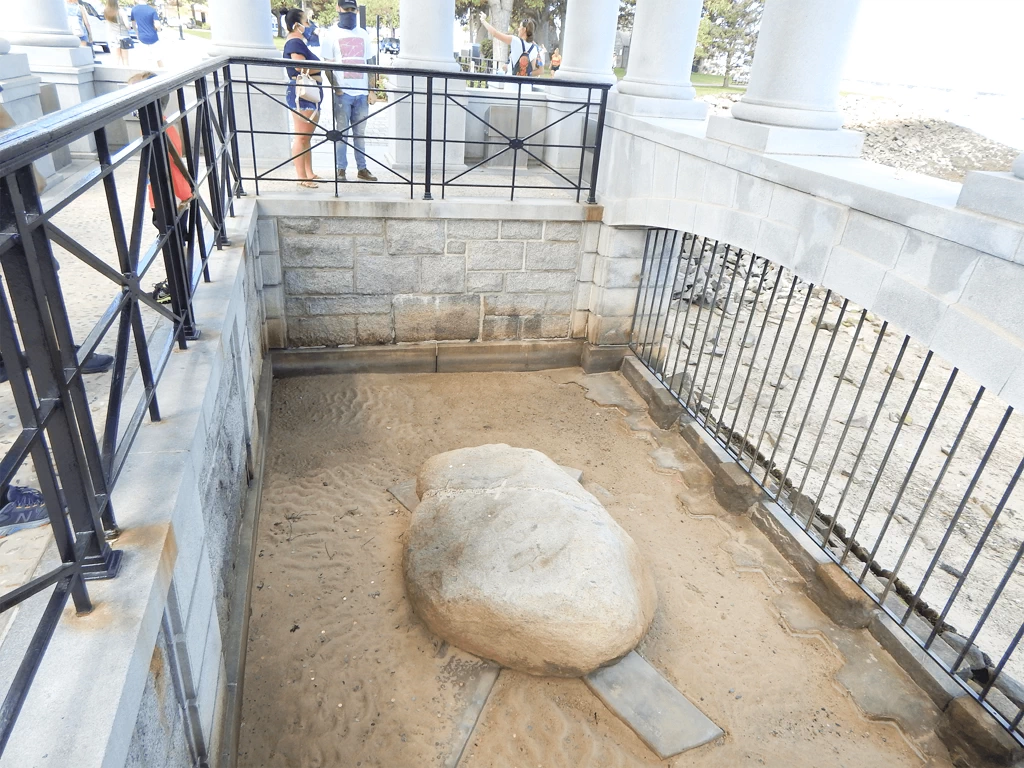 Plymouth Rock
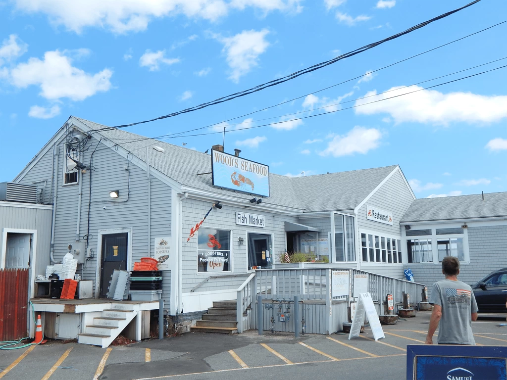 Woody's Seafood
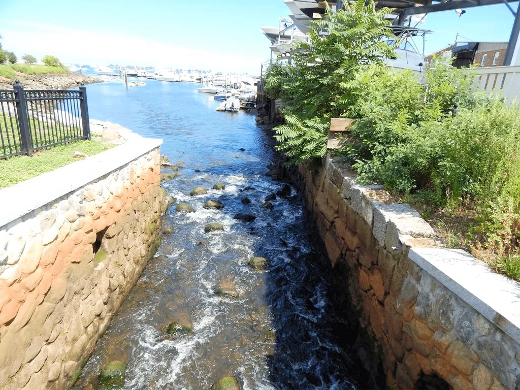 Town Brook
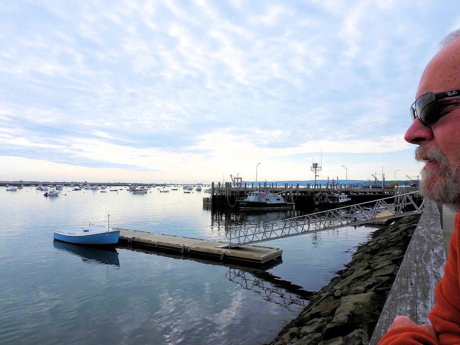
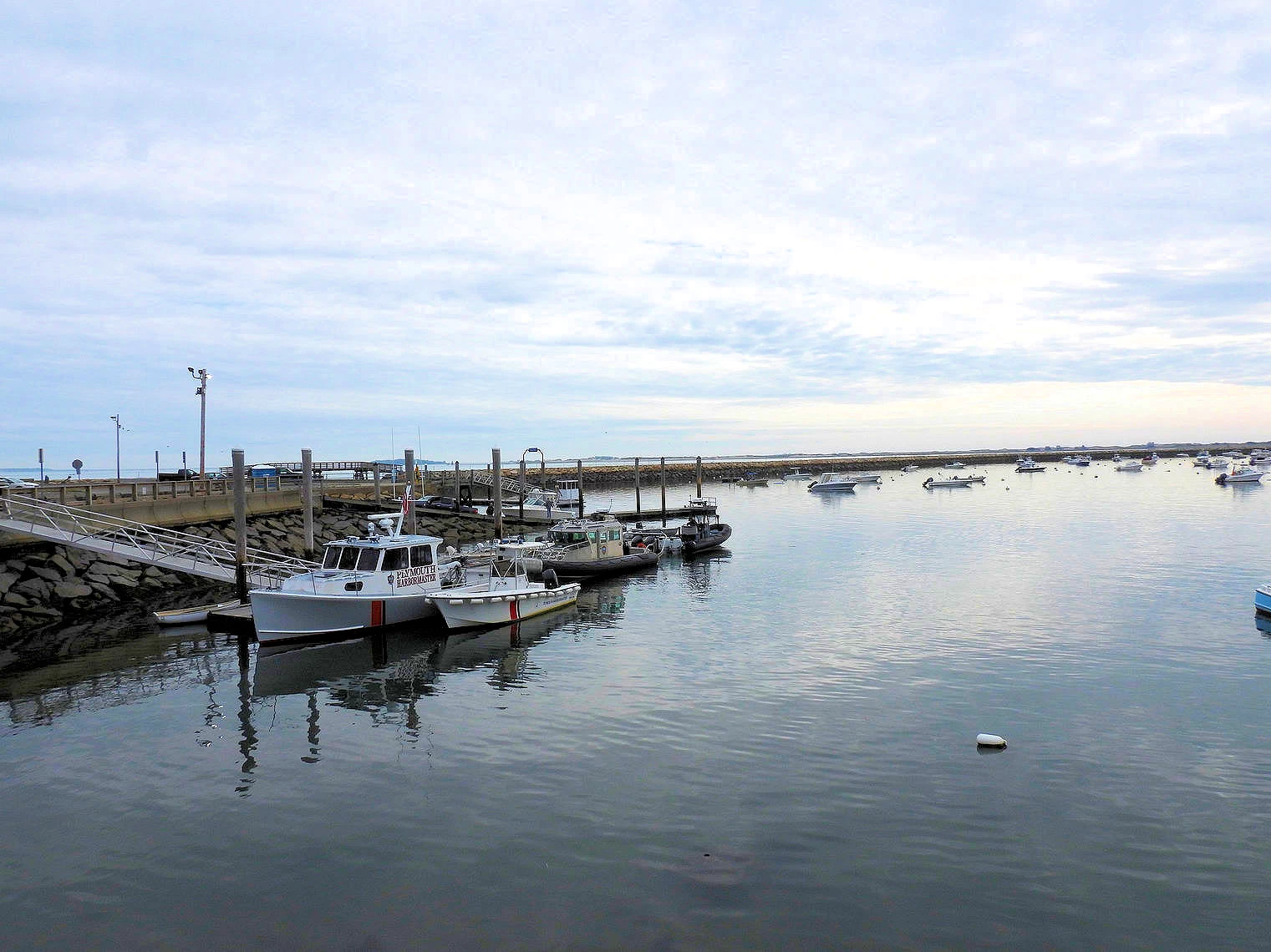
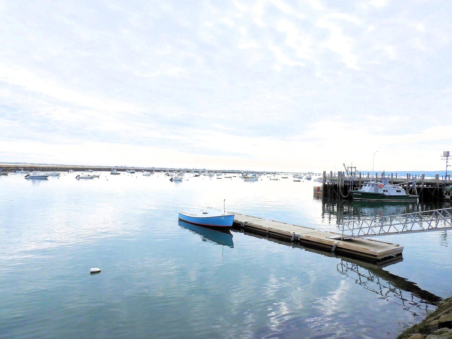
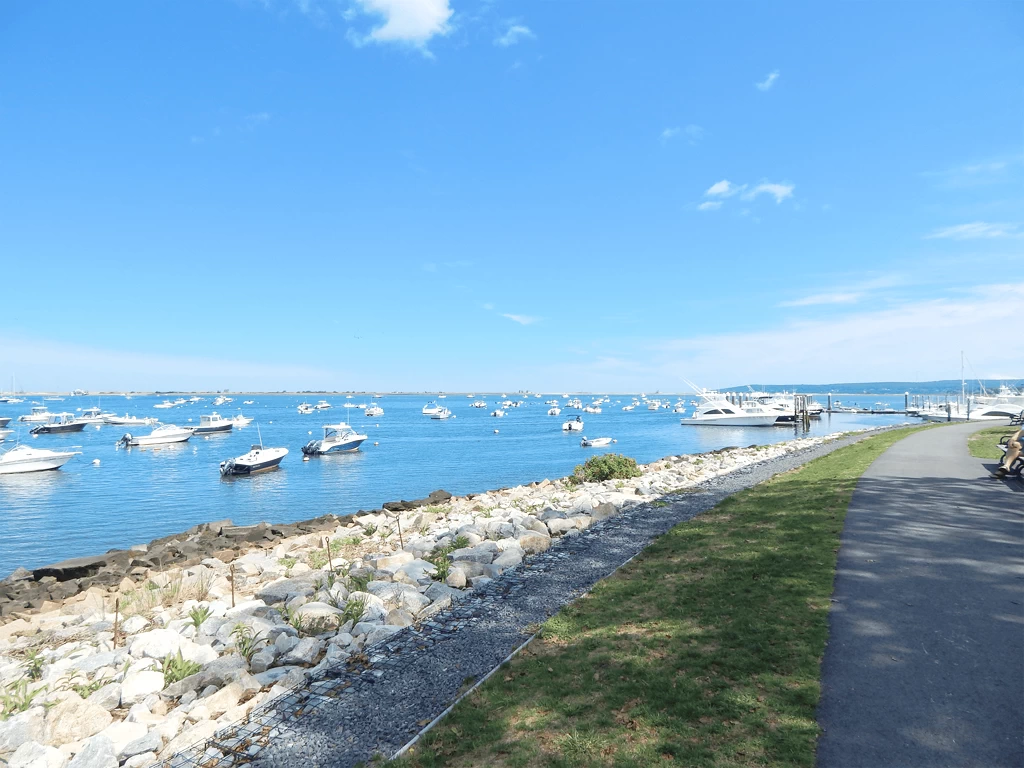 Plymouth Harbor
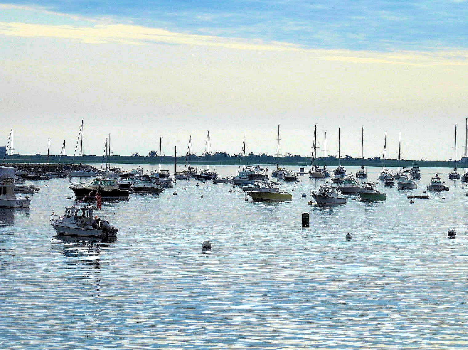
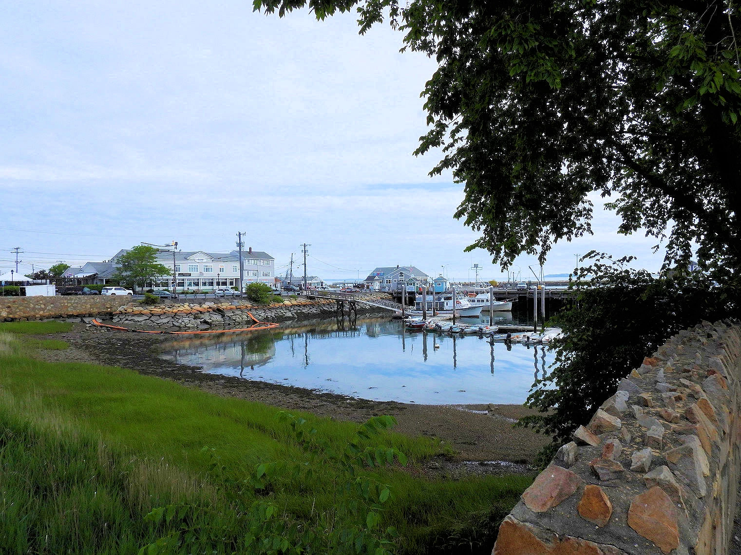
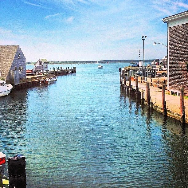
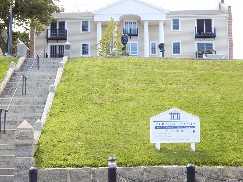 Pilgrim Hall
Plymouth provides picturesque views on a clear day and the harbor is typically filled with boats of all types. On the northwest side of the bay, Gurnet Point is located at the end of the peninsula that juts out at the entrance to Plymouth Bay. On the southeast side of the bay, there is another peninsula that is about 5 miles long and provides additional protection to Plymouth harbor making it calm on most days. Long beach is located on that peninsula and those looking for a long walk away from the crowds might consider it. Dogs are allowed on leash.
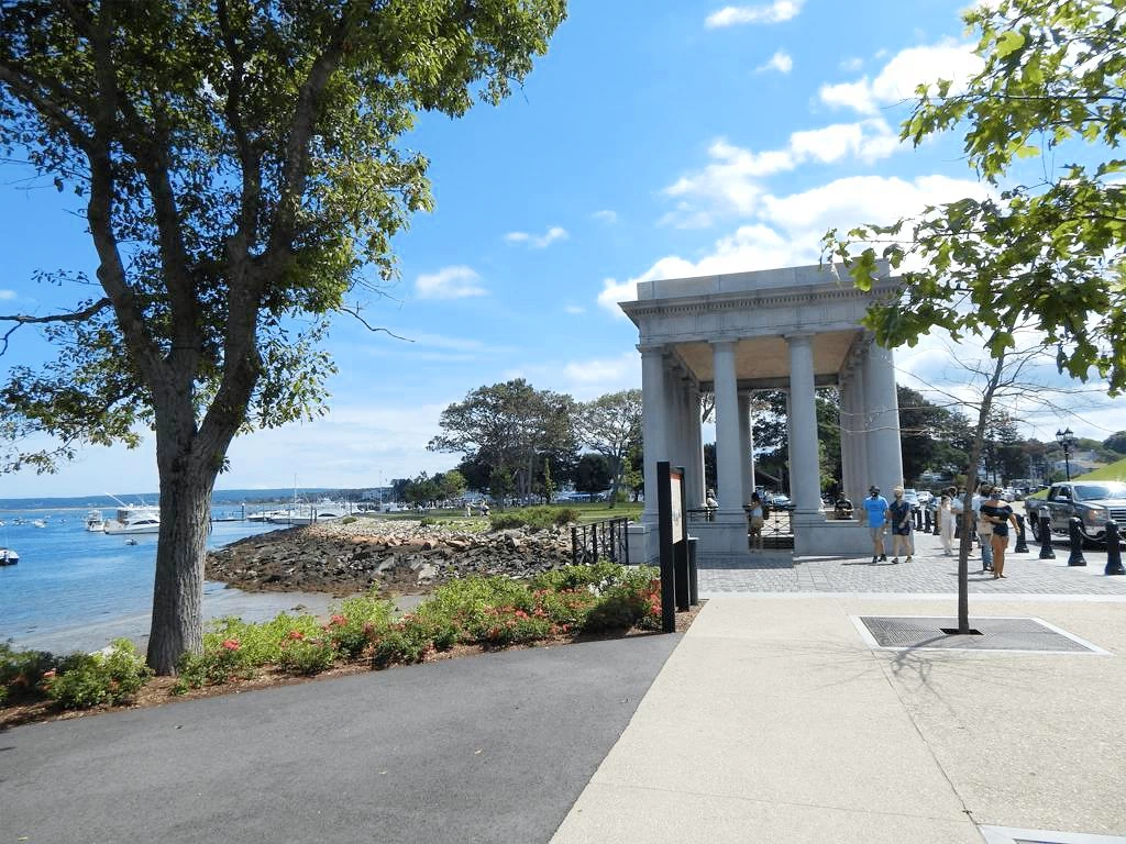
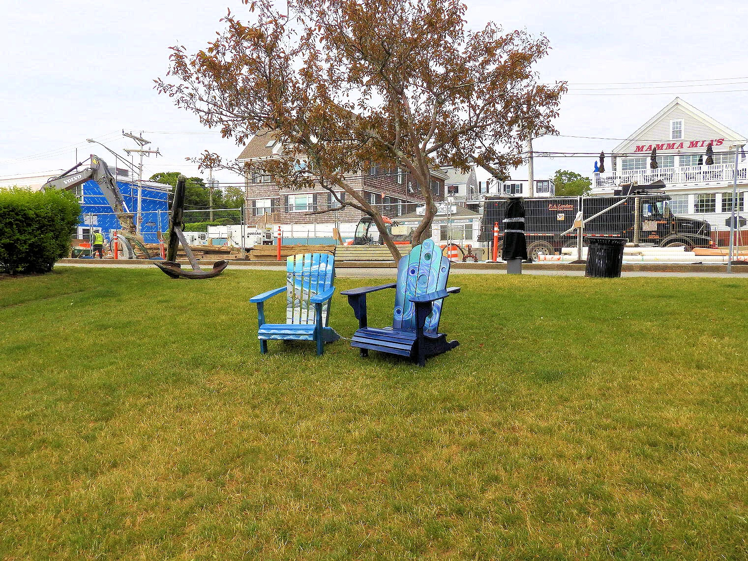
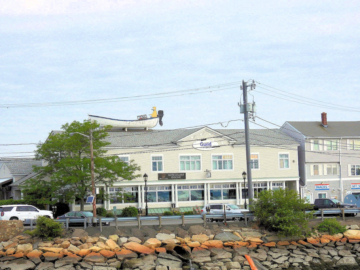
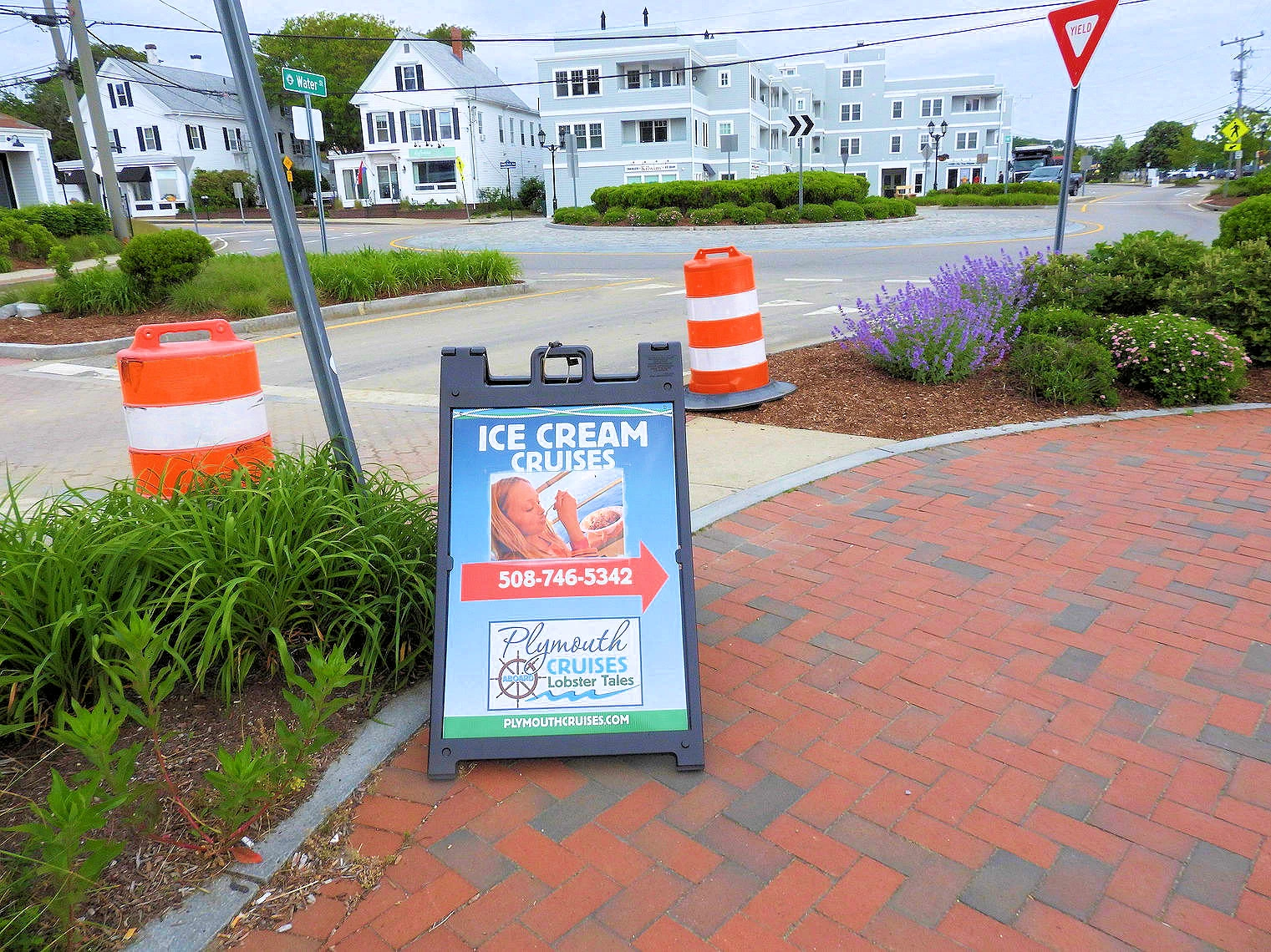
Plymouth Rock is located at the harbor front along with the Mayflower when it is in port. The harbor front street, called Waterstreet, is lined with shops and restaurants. You can pick up your t-shirts, trinkets and homemade fudge in any number of stores. There is a walking path along the waterfront with benches and places to lounge that are perfect for eating ice cream or that homemade fudge that you just purchased.
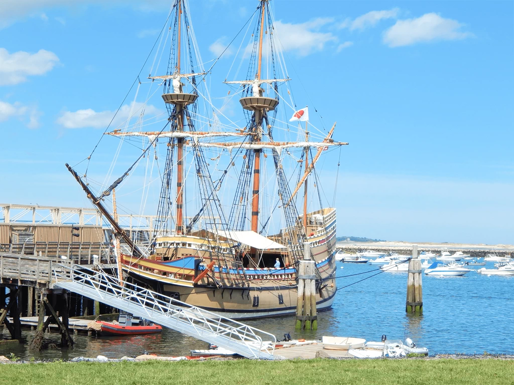
Just beyond the Plymouth Rock area is a replica of the Mayflower ship that brought the Pilgrims to Massachusetts. When you visit the Mayflower II replica, you'll embark on a journey back to the 17th century, experiencing a tangible representation of the ship that brought the Pilgrims to America in 1620. The Mayflower carried 102 passengers and a crew of approximately 30 when it embarked on its voyage to America - and you will be amazed at how little space there was for that number of people in the Mayflower interior.
The Mayflower II is a meticulously crafted, full-scale reproduction of the original ship. You'll be struck by its surprisingly small size (106 feet long and 25 feet wide), which truly emphasizes the challenging conditions faced by the 102 Pilgrims and crew during their 66-day transatlantic voyage. You'll observe its painted sloping sides and the high castle-like structures fore and aft, which gave rise to the term "foc'sle" (forecastle).
While I was in the Navy, I traversed the North Atlantic a number of times on the two ships I had been assigned to. One of those ships was considerably larger (470 feet) than the Mayflower and winter storm conditions would cause my ship to roll & bounce in ways that were frightening at times. I cannot begin to imagine what it must have felt like on a ship the size of the Mayflower!
Your tour will typically begin on the main deck. From there, you can descend a ladder to the 'tween deck (also known as the orlop deck). This is where the Pilgrims were crammed together in miserable, low-ceilinged, and dark conditions for their journey and for months afterward until shelters could be built ashore. While there are typically no reproduction artifacts or exhibits on this deck, the sheer emptiness and low height help you imagine the cramped quarters. You can also explore the foc'sle cabin and the enclosed steerage compartment aft on the main deck, where the helmsman stood and some officers berthed. Neither of these compartments is usually furnished, requiring you to use your imagination to picture a sailor's life. Finally, you can ascend a ladder to the half deck, where the ship's bell is located, and admire the complex rigging of the ship. From the half deck, you'll also get fine views of Plymouth Harbor.
One of the highlights of a visit to Mayflower II is the opportunity to interact with costumed role players. These interpreters, often speaking in a 17th-century dialect, portray Pilgrim passengers and crew members. They'll share personal accounts of shipboard life, offer insights into the motivations for the perilous journey, and answer your questions about the ship and the Pilgrims' experience. You may also encounter modern crew members of this still seaworthy vessel who can provide information about the ship's operation and maintenance.
Fun Fact: No Cows on the Mayflower? Yep — and Here's Why
While exploring the Mayflower II, it’s impossible not to be struck by how compact it is — just 106 feet long by 25 feet wide. Imagine cramming 102 passengers and about 30 crew members into that space for over two months. Now picture adding livestock to the mix — sounds chaotic, right? But here’s the surprise: the original Mayflower didn’t bring cows.
Despite the romantic notion of barnyard animals crossing the Atlantic with the Pilgrims, historians now agree that only a few animals made the initial voyage — some goats, sheep, a couple of dogs, and maybe a ship’s cat or two to manage mice. The first cows didn’t arrive until 1623, when the ships Anne and Little James brought additional settlers and essential supplies to the struggling colony. Only then did Plymouth Colony get its first dairy animals.
So if you’ve ever toured the Mayflower II and thought, “There’s no way a cow fit down here,” you’re absolutely right.
NOTE: It's important to note that as an authentic replica, the Mayflower II is not fully wheelchair accessible. People with mobility limitations may find it challenging to navigate the ship's ladders and confined spaces. However, the dock itself is accessible, allowing for views of the ship.
Plymouth is a historic and picturesque coastal area steeped in rich maritime heritage. Serving as a significant port since the 17th century, Plymouth Harbor is renowned for its role in American history, being the disembarkation point of the Pilgrims aboard the Mayflower in 1620. Today, the harbor bustles with activity, offering a range of attractions and amenities for visitors. Tourists can explore the Plymouth Waterfront, lined with quaint shops, restaurants, and museums, or embark on scenic boat tours to discover the harbor's scenic beauty and wildlife. Plymouth Harbor is also home to the iconic Plymouth Rock, a symbol of American freedom and democracy. With its blend of historical significance and natural charm, Plymouth Harbor continues to captivate visitors from around the world, offering a memorable experience by the sea.
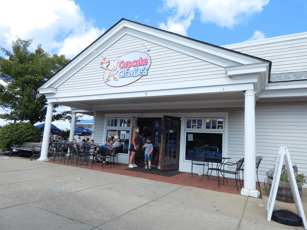
Cupcake Charlie's
No visit to Plymouth harbor is ever complete without visiting Cup Cake Charlies. Some of the best cup cakes we’ve ever had. Take a look at their menu, they have a wide range of cupcakes, cakes, ice cream, whoop cakes, cookies, etc.
Click here to visit their website.
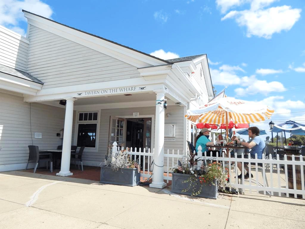
Tavern on the Wharf
They have outside seating with options ranging from Salads to fish tacos and sandwiches to lobster mac and cheese. We enjoyed everything we tried including the artichoke spinach appetizer which was perfect for our group of six.
Click here to visit their website.
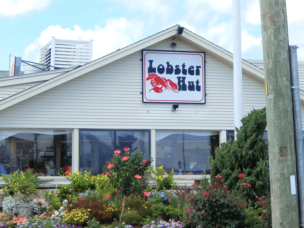
Lobster Hut
We were looking for outside seating due to COVID-19 and the lobster hut provides that in the back of the restaurant (faces the harbor). You order at the counter and find your table. When the food is ready, they call your number.
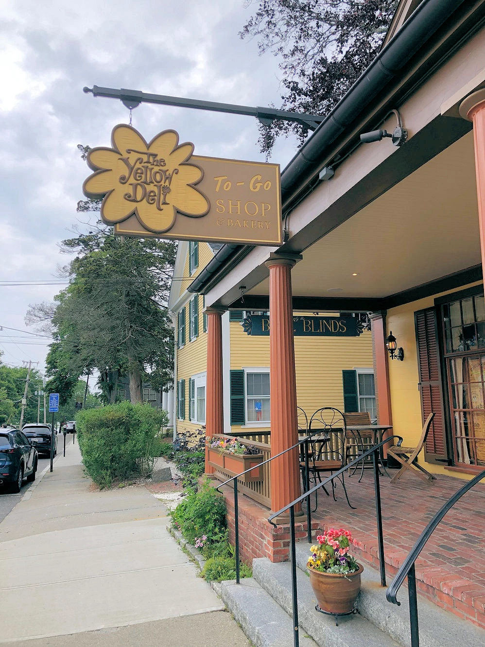
The Yellow Deli
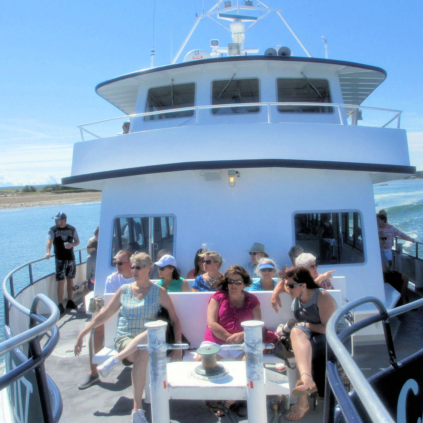 Provincetown Ferry
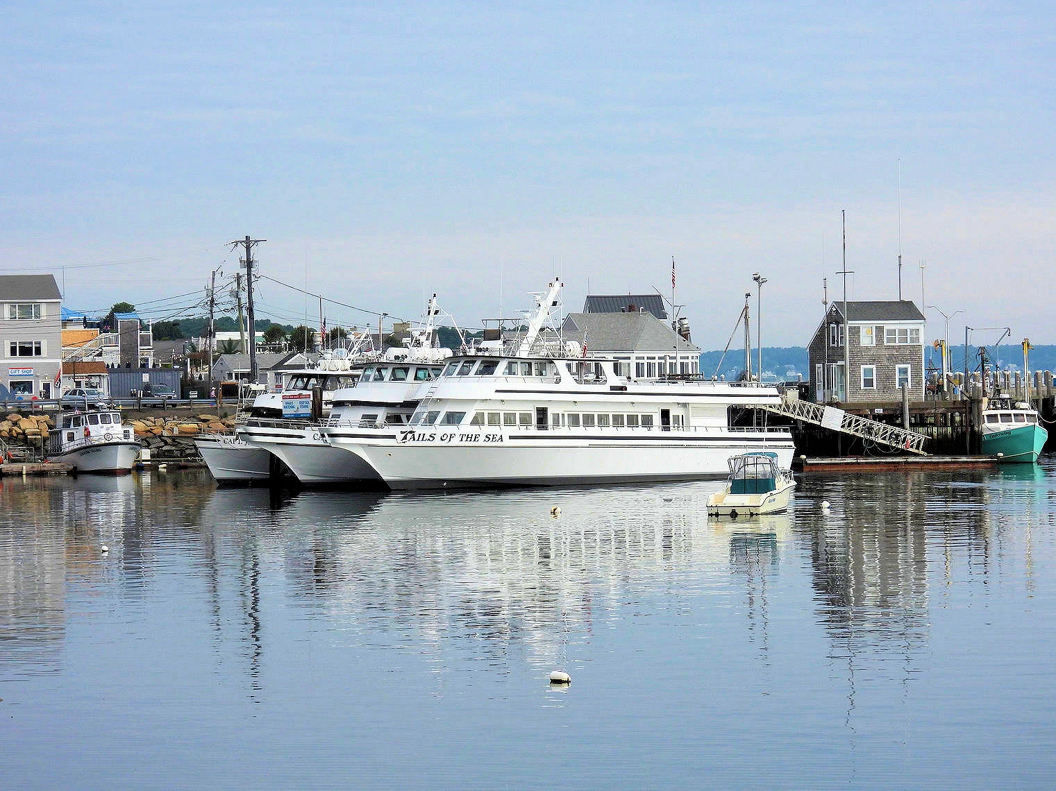
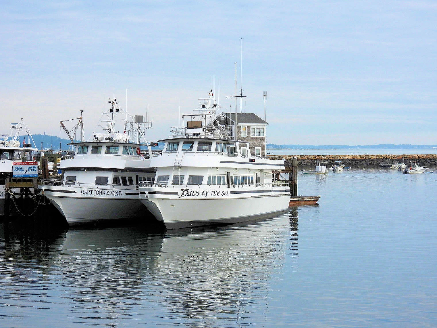
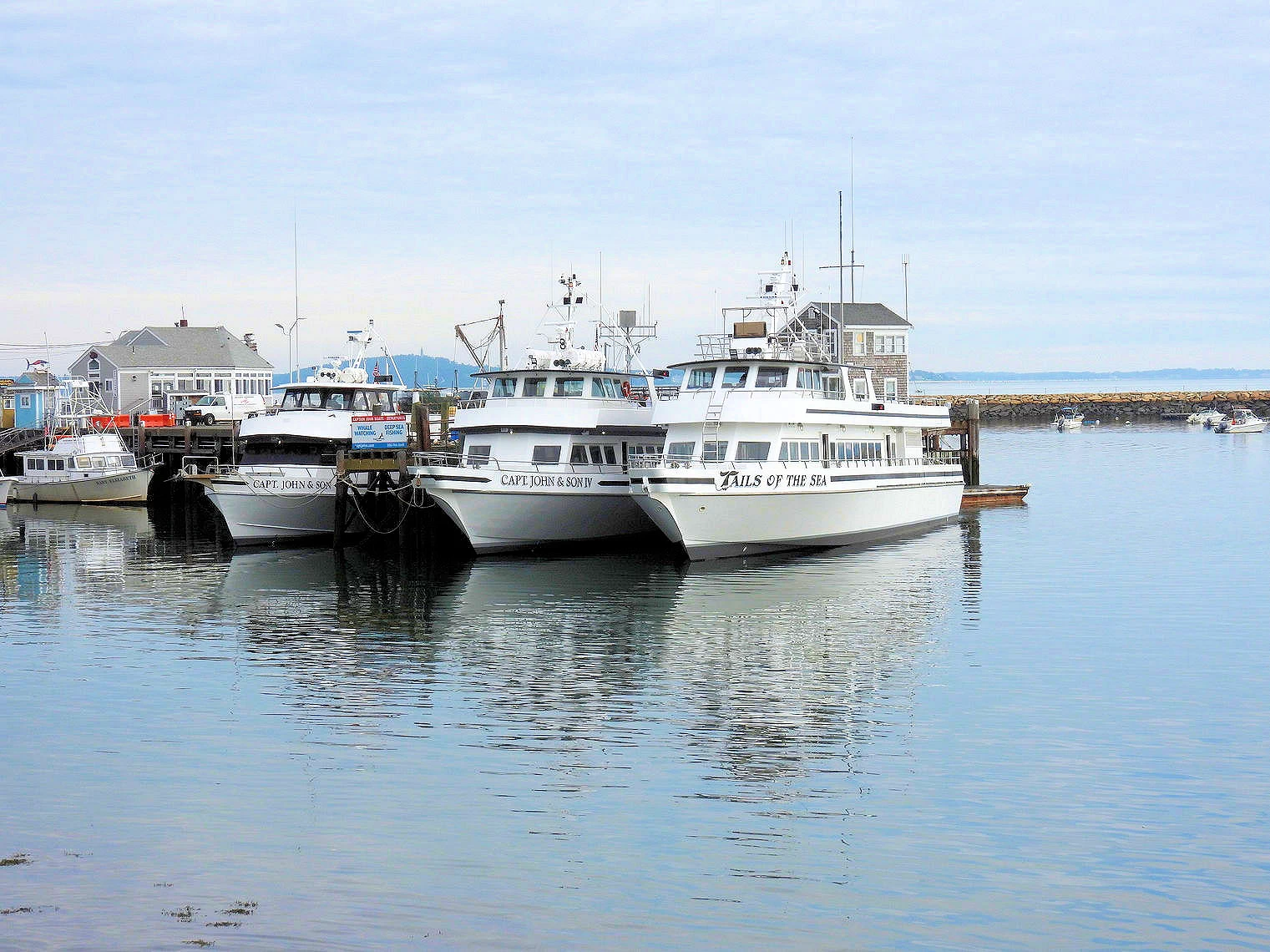
One of our favorite day trips from Plymouth is going to Provincetown by Ferry. Taking the ferry to Provincetown is easy and so much fun! The boats have comfortable seating in a climate-controlled cabin with full galley service and great views of historic Plymouth Harbor and Cape Cod Bay. On our trip we saw a few whales which was an unexpected bonus.
Want to learn more about our Provincetown exploration? Check out our Provincetown Story here.
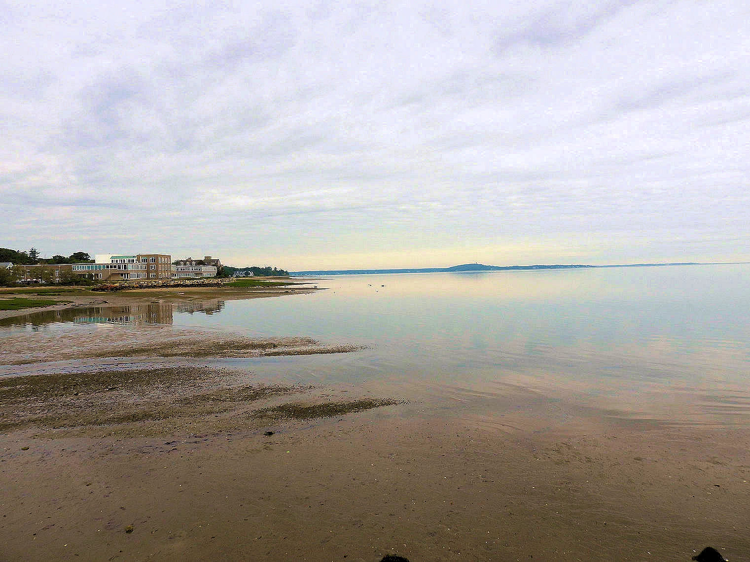
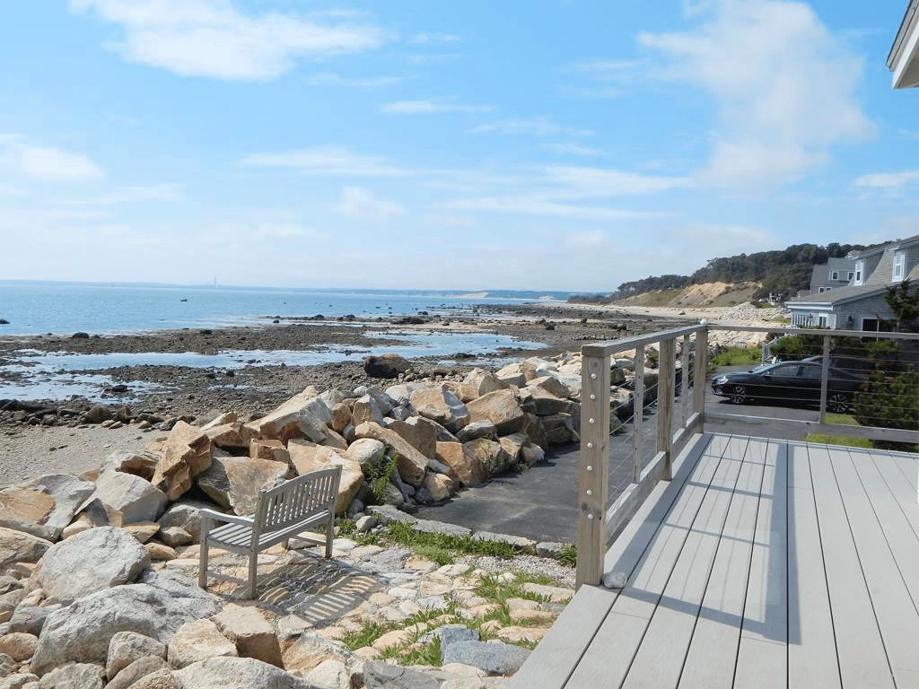 View from Cottage Deck
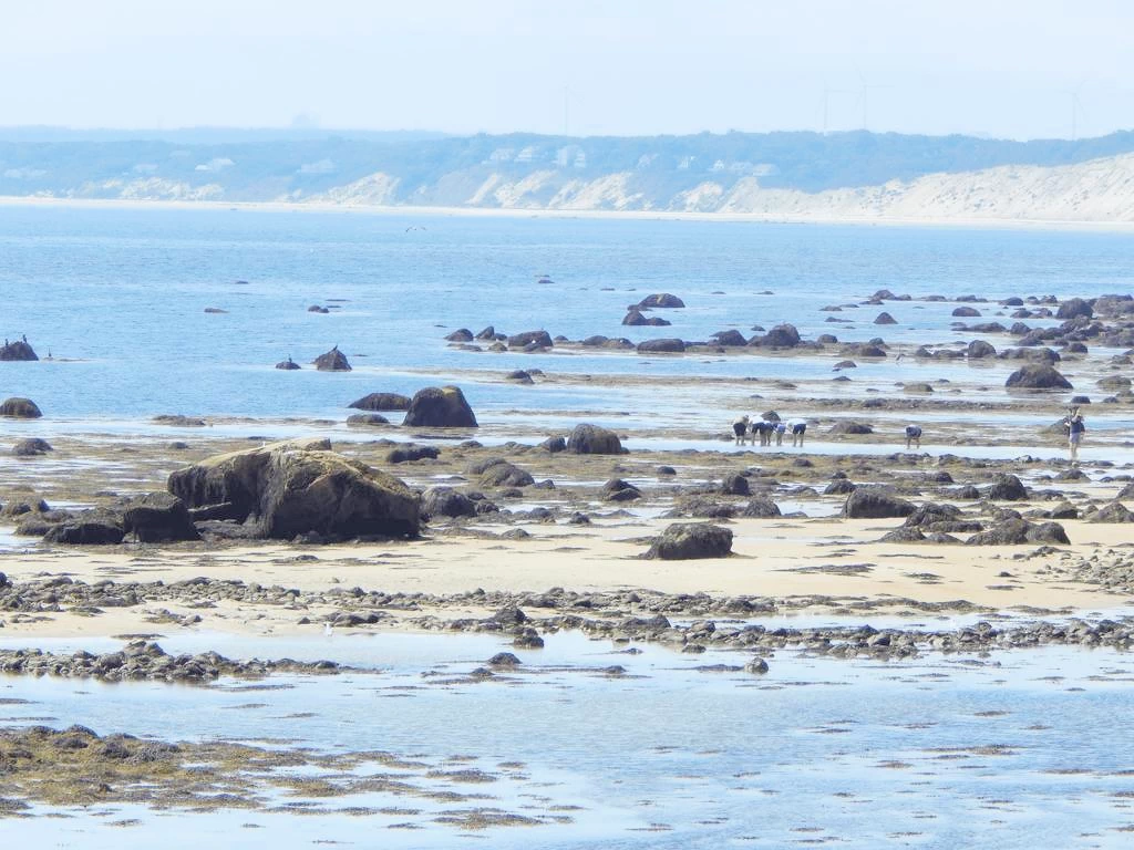 Tidal Flats View
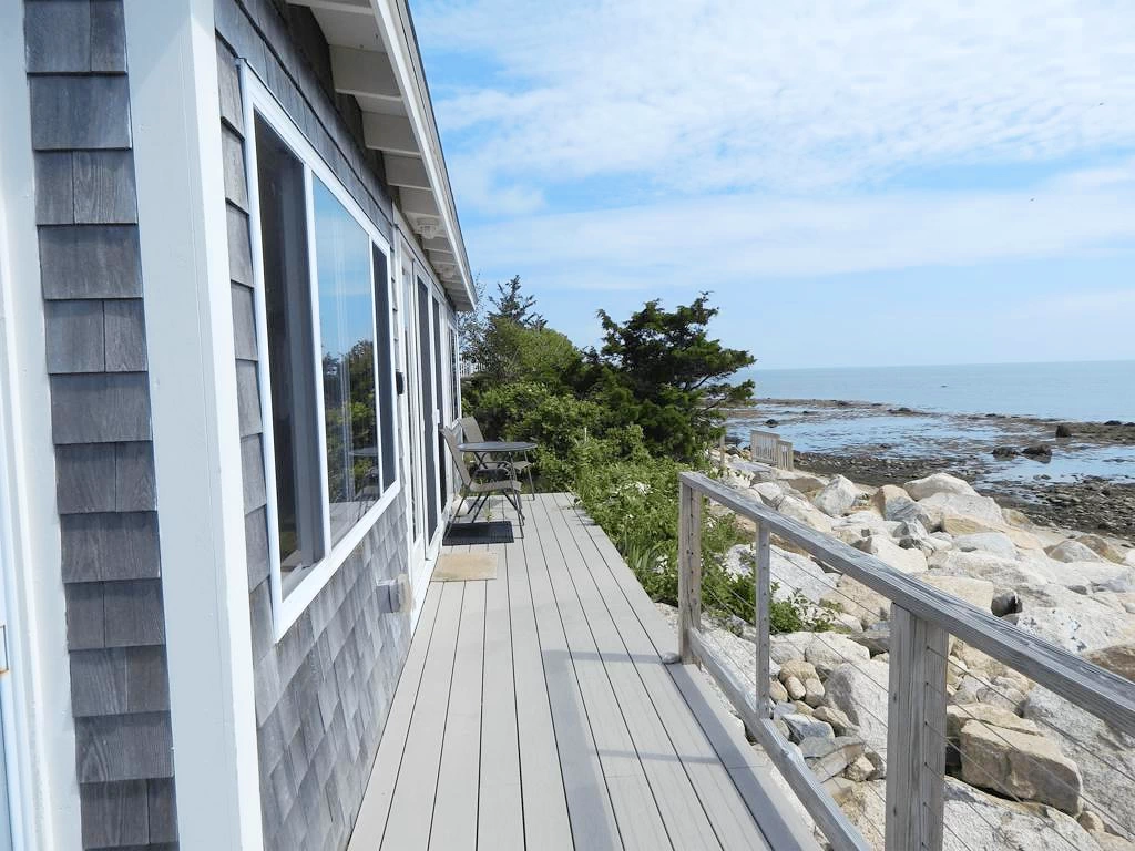 North from Cottage Deck
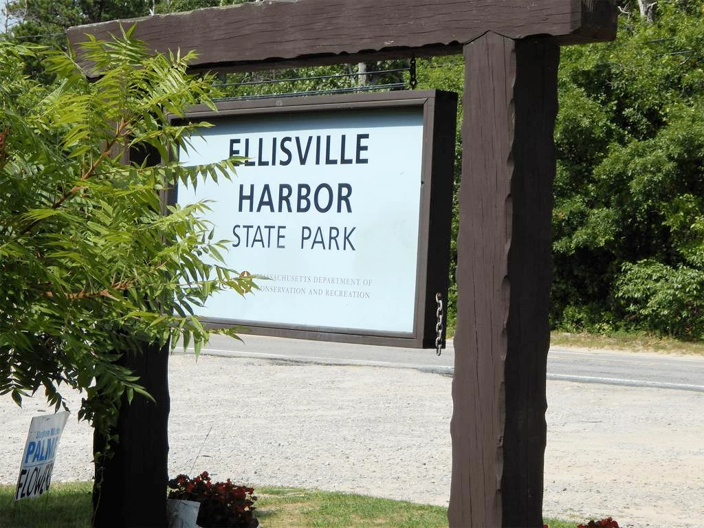 Park Hike
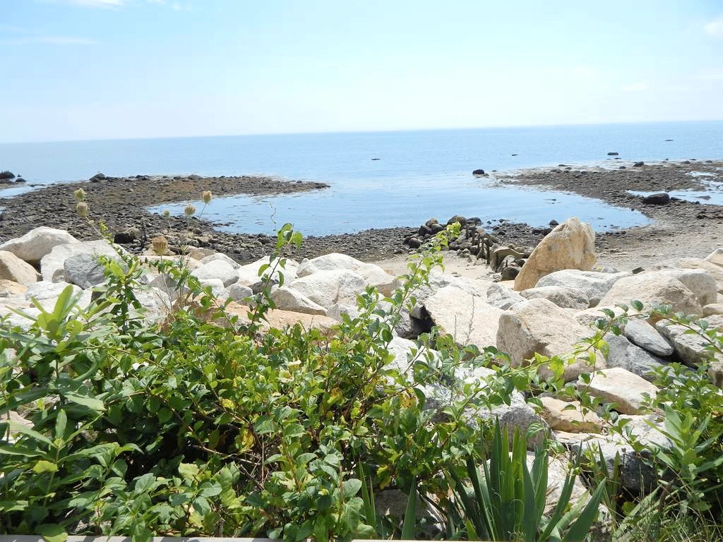 Tidal Pools
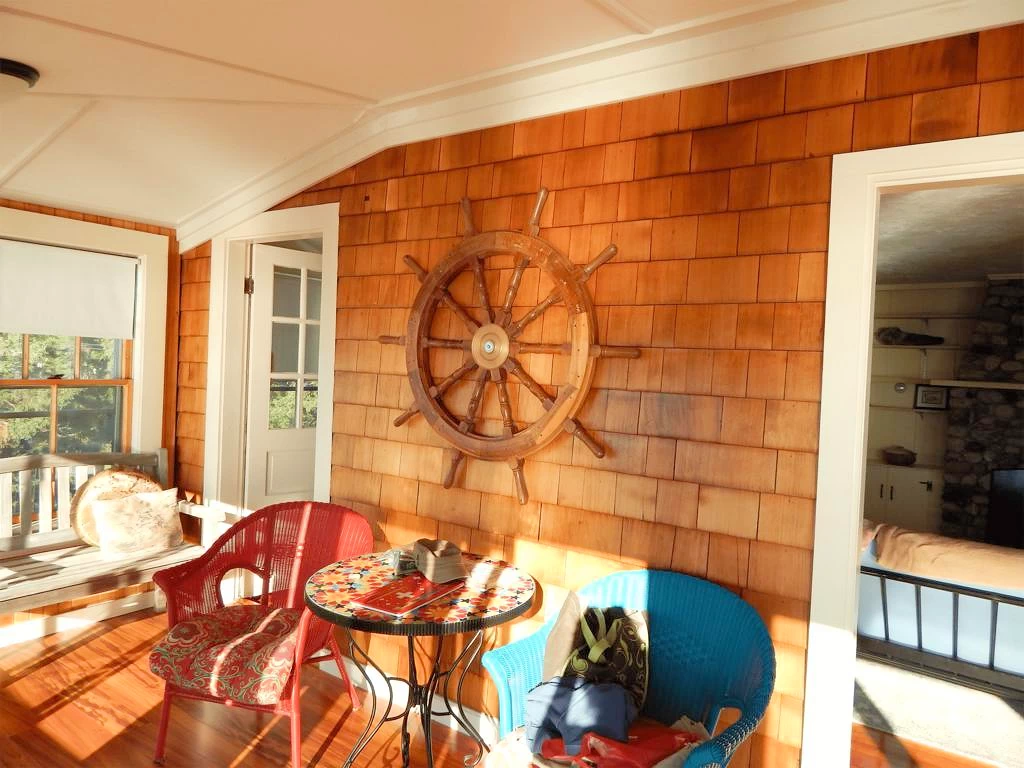 Interior of Rental Cottage
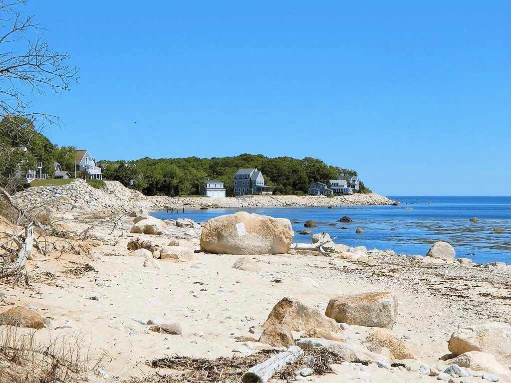 Rental Cottage from Park Beach
 Poison Ivy Everywhere in Park
 Sunrise View from Cottage
Ellisville Harbor State Park is a seaside park with paths down to the waterfront. If you take the dirt road to the park entrance you can follow the wide path down to the water’s edge. The paths are full of poison ivy so be careful. The beach is littered with driftwood and rocks but there is some sand so you can lay your blanket and spend some time. At low tide you can walk out and go exploring in the rocks and seaweed. Harbor seals swim just off the shore on most days. We rented a VRBO that overlooked the water and had views of the park. Check out the images of the house we stayed in and the stunning views.. Getting to the house was challenging due to the dirt road and large puddles (more like small ponds) but once we were there the views were incredible and we woke each morning to the sound of the seals barking and seagulls crooning.
More Info for Ellisville Harbor State Park
Image Credits
All of the above images are the property of Just Traveling Thru, LLC.
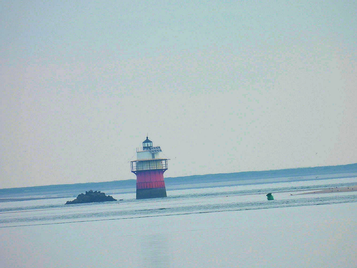
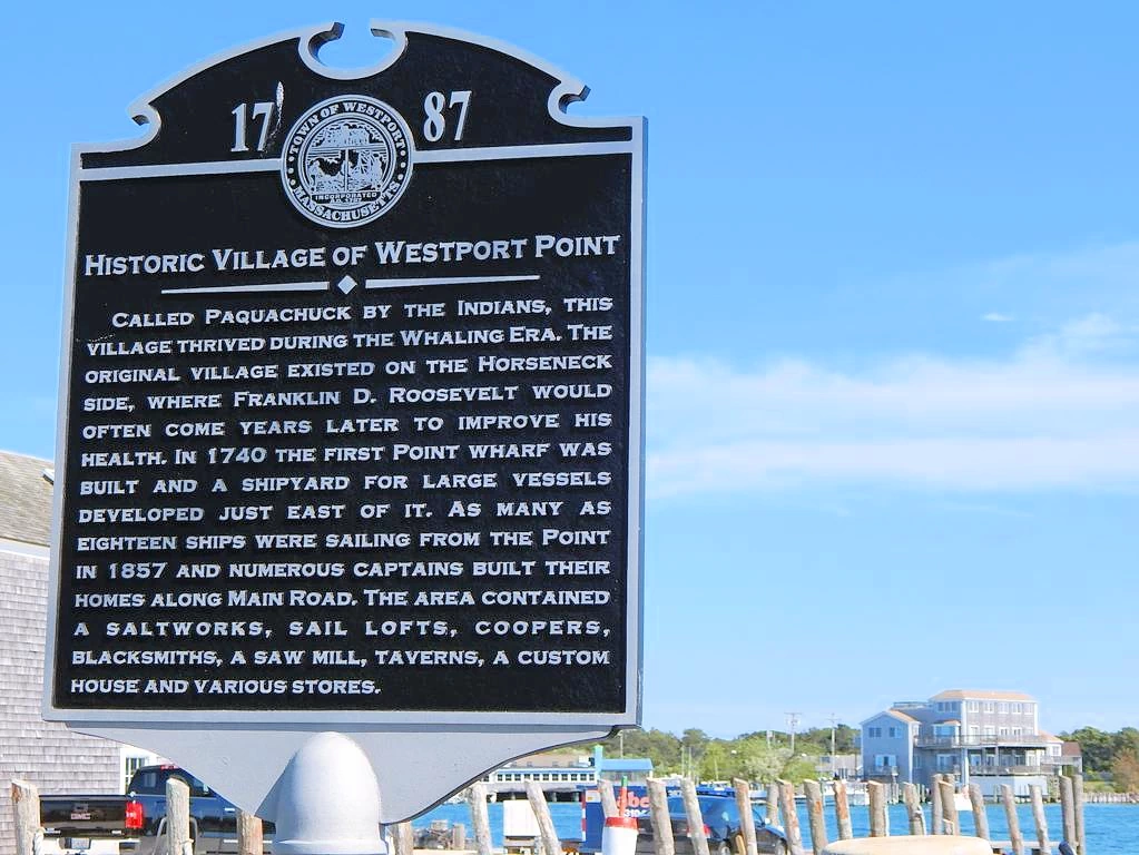
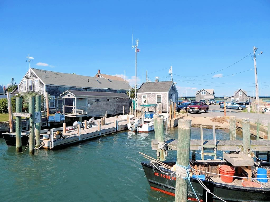
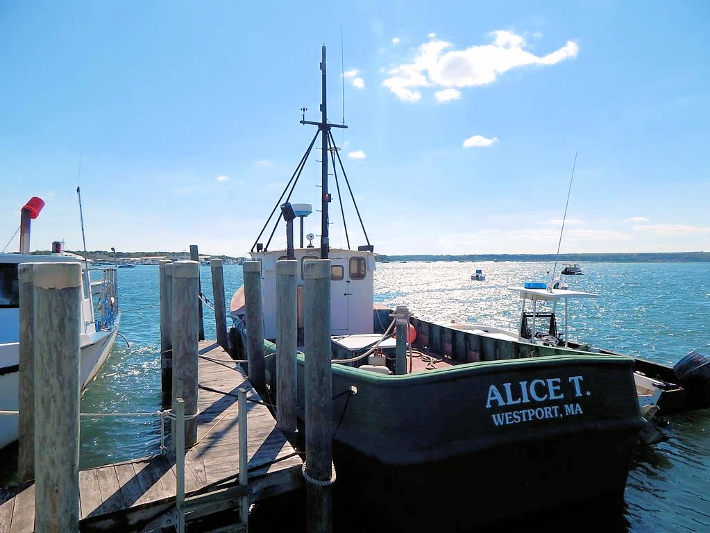
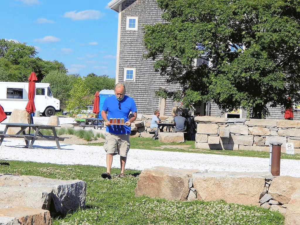
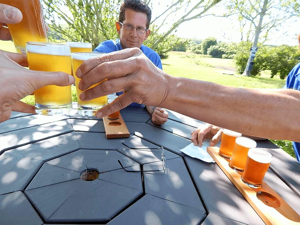
There are a number of beautiful drives and day trips that you can take from Plymouth. Westport harbor is a small but picturesque harbor. Buzzards Bay Brewing has a Westport location located in the country.
Buzzards Bay Brewing is a craft beer haven, nestled in the scenic countryside of Westport. This brewery combines a passion for quality brewing with a commitment to environmental sustainability, creating a unique and welcoming experience for beer enthusiasts. Set amidst picturesque farmland, the brewery offers a relaxed atmosphere where visitors can enjoy a variety of handcrafted beers, each a testament to the artistry and dedication of the brewers.
From hoppy IPAs to smooth stouts, Buzzards Bay Brewing's diverse selection caters to a range of palates. The rustic taproom and spacious outdoor areas provide the perfect backdrop for socializing, live music events, and food truck gatherings. This brewery not only celebrates the craft of beer-making but also embraces the natural beauty of its surroundings, making it a must-visit destination for those seeking a delightful blend of flavor and ambiance in the heart of Massachusetts.
More Info for Westport, MA
Image Credits
All of the above images are the property of Just Traveling Thru, LLC.
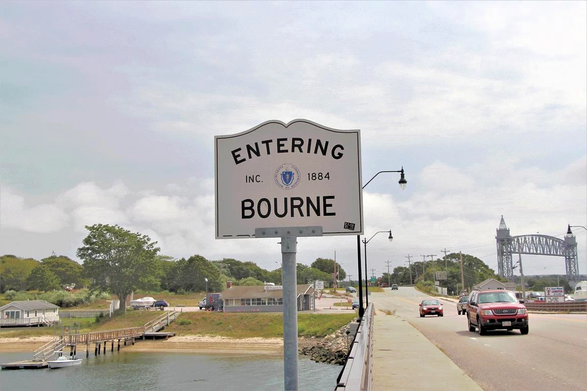
Bourne, Massachusetts offers a delightful blend of coastal charm and historical significance. Known as the gateway to the Cape, Bourne is steeped in maritime heritage and is home to the iconic Cape Cod Canal. The town boasts scenic vistas, waterfront parks, and tranquil beaches, making it a haven for outdoor enthusiasts and beachgoers.
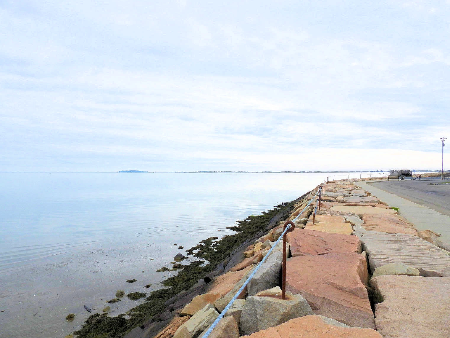
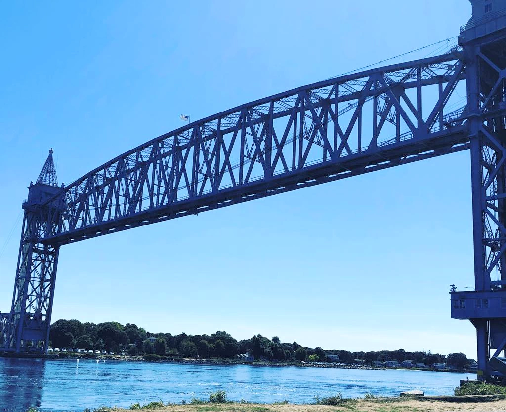
Canal Railroad Bridge: That bridge weighs 2,200 tons and has a center span of 544 feet. When the bridge was first constructed (completed in 1935) it was the longest vertical lift railroad bridge in the world. The lift section of the bridge is kept in the raised position until a train needs to cross, and then the bridge is lowered, requiring 2.5 minutes to reach the fully lowered and ready position. The bridge is owned, operated and maintained by the US Army Corps of Engineers.
Canal Automobile Bridges: There are two auto only bridges, the Sagamore Bridge and the Bourne Bridge. Construction started in 1933 and was completed in 1935. These bridges were Public Works Administration projects for the US Army Corps of Engineers, who owns, operates and maintains both bridges.
There is a walking and bike path along the canal, plentiful parking and benches for taking in the view of the Canal Railroad Bridge. We stopped and got some cider donuts and a coffee and sat in the park to take in the views.
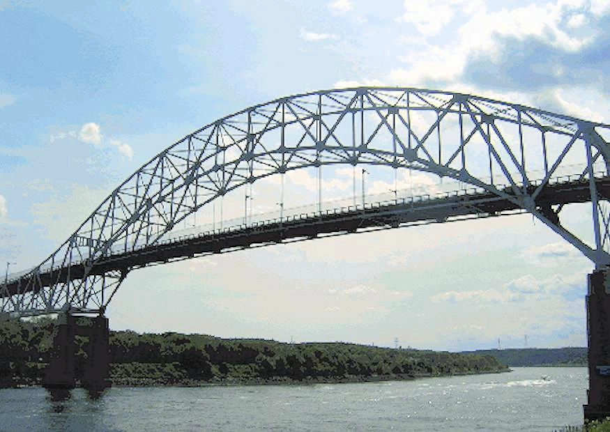
Cape Cod Canal Quick History The Cape Cod Canal is an artificial waterway in the U.S. state of Massachusetts connecting Cape Cod Bay in the north to Buzzards Bay in the south, and is part of the Atlantic Intracoastal Waterway. The approximately seven-mile-long (11 km) canal traverses the narrow neck of land joining Cape Cod to the state's mainland. Most of its length follows tidal rivers widened to 480 feet (150 m) and deepened to 32 feet (9.8 m) at mean low water, shaving 135 miles (217 km) off the journey around the Cape for its approximately 14,000 annual users.
Most of the canal is located in Bourne, Massachusetts, but its northeastern terminus is in Sandwich, Massachusetts. Scusset Beach State Reservation lies near the canal's north entrance, the Massachusetts Maritime Academy near its south. A swift running current changes direction every six hours and can reach 5.2 miles per hour (8.4 km/h) during the receding ebb tide. The waterway is maintained by the United States Army Corps of Engineers and has no toll fees. It is spanned by the Cape Cod Canal Railroad Bridge, the Bourne Bridge, and the Sagamore Bridge. Traffic lights at either end govern the approach of vessels over 65 feet (20 meters).
Construction of a canal had been discussed for nearly 300 years before the original canal was constructed in June 1909 by a private company founded by August Belmont, Jr. The initial canal opening took place in 1914 and it was fully completed in 1916. The U.S. Government forced the Belmont Construction Company to yield canal ownership via eminent domain in 1928 and the U.S. Army Corp of Engineers widened and dredged the canal between 1935 to 1940.
The above information is from this Wikipedia Article.
Click here to see a book on Amazon that tells the story of how the original canal was constructed, how it was taken over by the U.S. Government, etc.
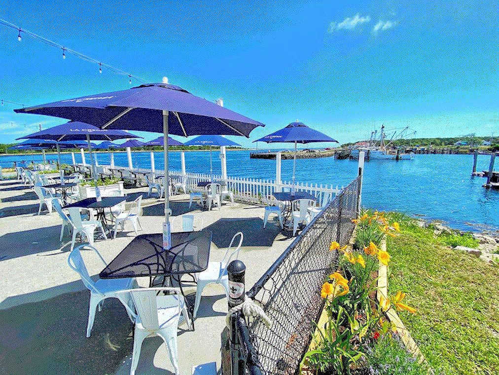 Fisherman's View
Because Sandwich is such a pretty village, adjacent to the Cape Cod Canal and it's eastern terminus and contains some nice restaurants - we wound up driving here several times for meals and explorations!
Want to learn more about our Sandwich exploration? Check out our Sandwich, MA Story here.
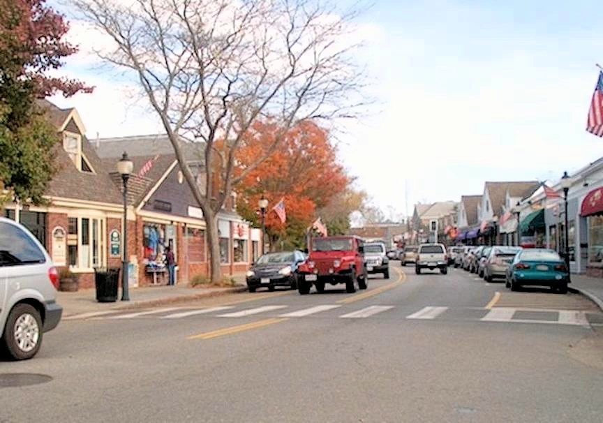
Falmouth and Woods Hole are also a short drive from Plymouth. Falmouth has a quaint downtown area with a number of shops and restaurants. Click here to visit a page with a list of all the shops & places that you can visit on Main Street.
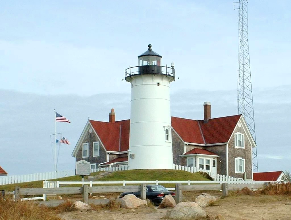
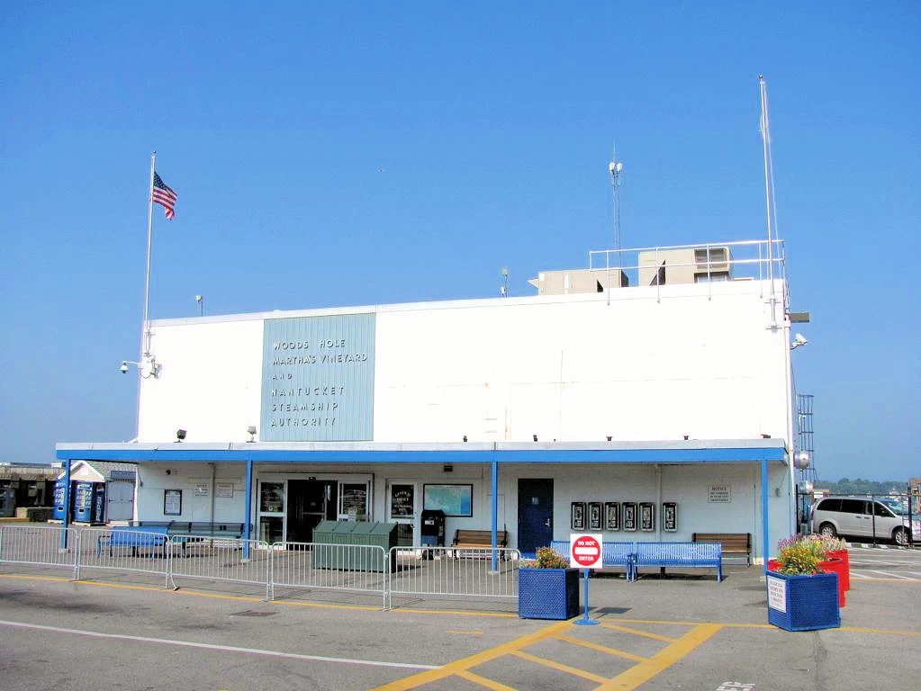
Falmouth has a number of beaches and Woods Hole has a science aquarium that is worth a visit. You can take a ferry to Martha’s Vineyard from here or you can visit Nobska Point Lighthouse or bike along the shining sea parkway.
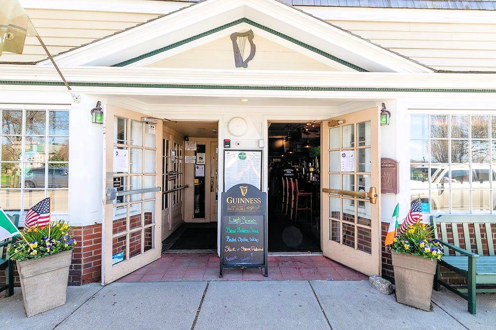
Since it was lunch time when we started our Main Street exploration, we decided to stop for lunch at Liam Maguire's Irish Pub. They have a nice menu, a pretty good beer list and a nice area in the back with picnic benches and umbrellas. We had a wide variety of food, and everyone agreed that it was tasty!
Take a look at their menu, to see why we thought it was a nice lunch stop.
Falmouth Area Links & More Info
Image Credits
All of the above images are the property of Just Traveling Thru, LLC.
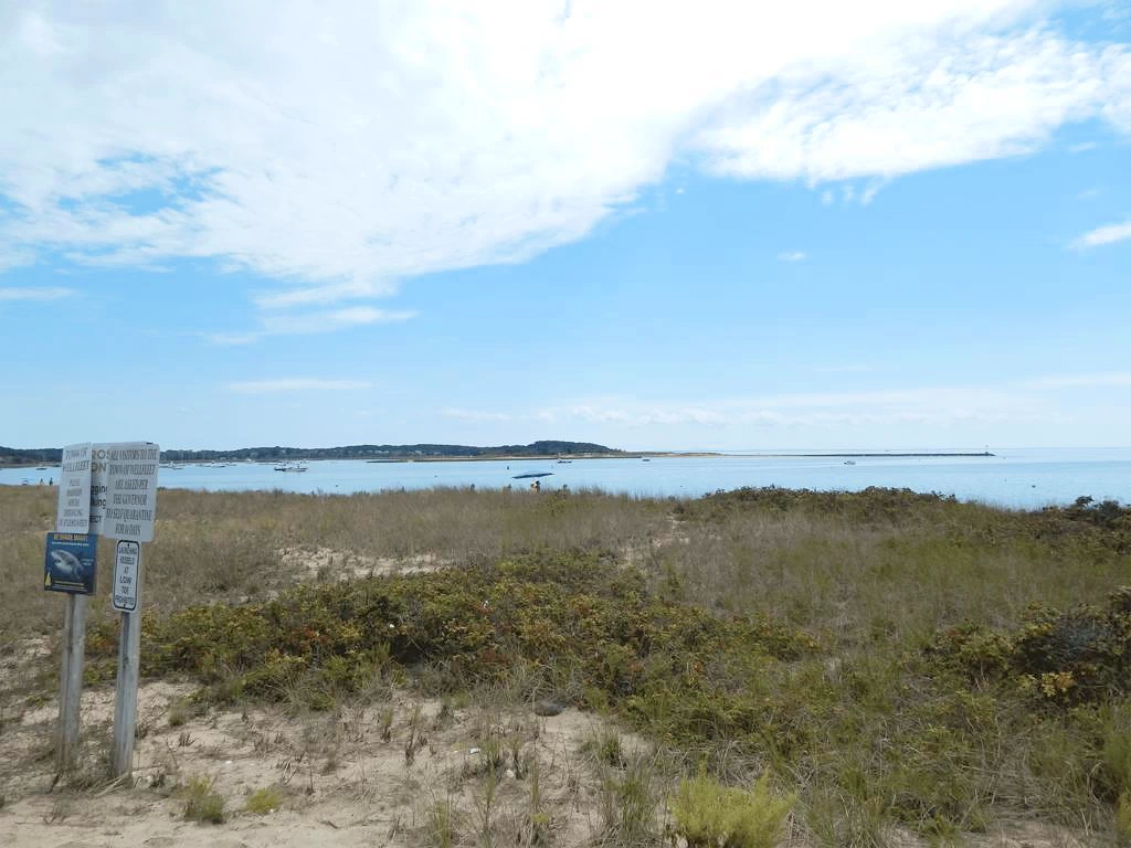 Wellfleet Harbor & Beach
There are a number of beaches here. If you decide to go for a swim be aware that there are sharks in the area (there are several warning signs).
Want to learn more about our Wellfleet exploration? Check out our Wellfleet, MA Story here.
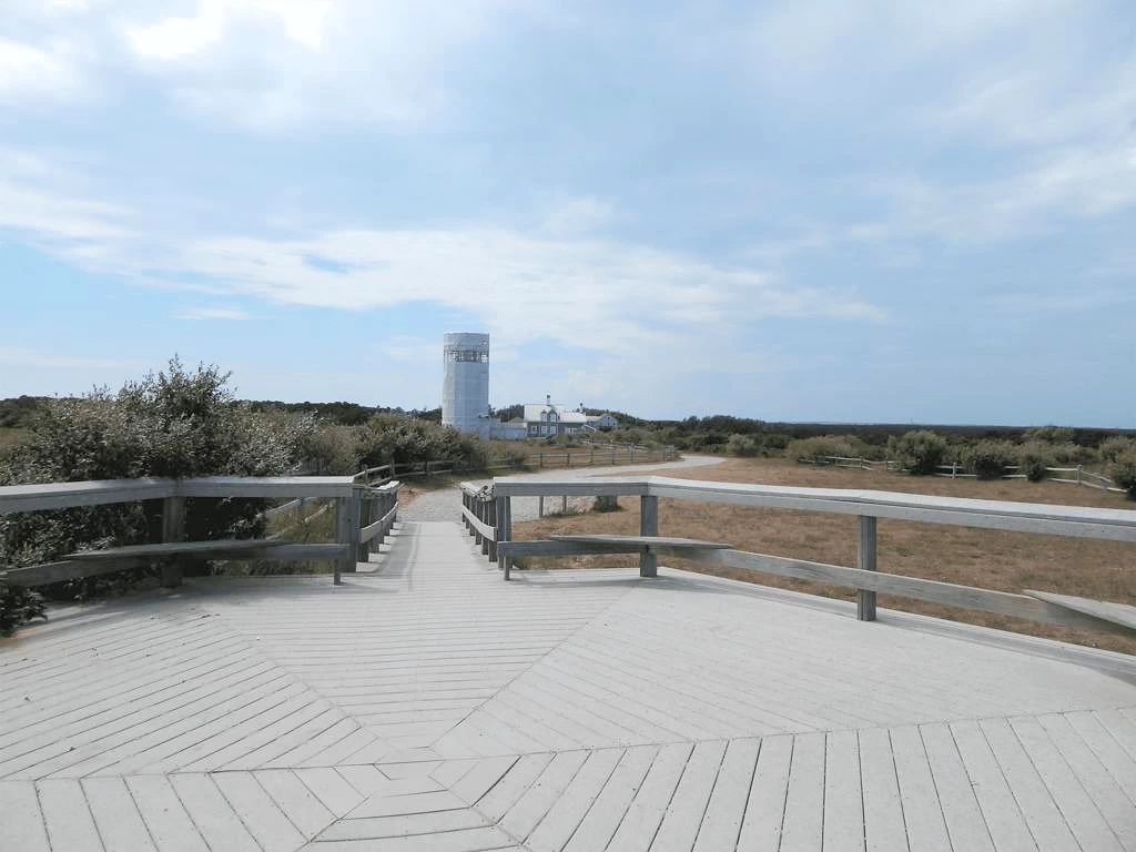 Cliff-side Viewing Platform
In our zeal to get to Wellfleet in time to meet my sister & her husband for lunch, we got there way too early and decided to drive up through Truro where we saw the sign for the National Seashore & Lighthouse. Since it seemed to be such a great way to spend some time, we parked and began our exploration. Unfortunately, the lighthouse was being renovated - but - we did discover an unusual fact about the lighthouse; it's original location (450 feet away) was much closer to the ocean, and was relocated when the Atlantic Ocean continued to cause the cliffs there to erode.
Want to learn more about our Lighthouse exploration? Check out our Cape Cod National Seashore Story here.
Note: All images featured on this page are the exclusive property of Just Traveling Thru, LLC, unless otherwise stated. When images from external sources are used, full credit is given to the original creator, along with a link to the specified license or usage terms. We are committed to respecting copyright and intellectual property rights, ensuring that all third-party images are properly attributed. If you have any questions regarding image ownership or usage rights, please feel free to contact us.
Affiliate Links: We may earn a commission if you make a purchase through one of our affiliate links. This helps support our travel content — thank you!
Content: To review any of our content, make suggestions and/or comments, please click the "About" menu link at the top of this page. You will find our "Contact Us" link on that drop-down menu.